Geography Reference
In-Depth Information
'Scientific'/Detailed
'Artistic'/Abstract
Outline of
territory
detailed
generalised
'
45-degree
'
Logical
differentiation
site-specific
schematised
schematic
Area
symbols
strict
medium-strict
fuzzy
Point and
line symbols
locationally true
territorially true
Use of colour
strong, solid
pale, soft
The Netherlands
Germany
England
National
Federal
Provincial
Regional
Regional
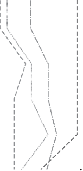
Figure 4.9
Cross-national comparison of the level of abstraction in Dutch, German and English strategic
spatial plans
thematic maps are developed over the course of the document, which are then
represented on one (sometimes two or more) integrated
plankaart
. This approach
determines the comparatively high complexity of the 'policy map'. The
Streekplan
Friesland, and also the
Nota Ruimte
which breaks with the tradition in previous
PKBs
of providing an integrated
PKB
'map', instead show several thematic 'policy
maps'.
In all plans at
Länder
level in Germany, categories are clearly distinguished in
both the key as well as the written statement. This is guided by legal requirements
laid down in the
ROG
, which for certain categories have to be covered by plans.
The
ORA
, because of its informal nature and somewhat 'unique' status in the hier-
archy of plans and programmes, is different in many respects. First, rather than