Environmental Engineering Reference
In-Depth Information
once it was decided on the actions to be taken,
investigations with rotary borings were done with
core recovery so as to be able to take samples
of the water at the coastal aquifer and to determine
the morphology of the former coastline, the one
that was buried, the one existing prior to the erup-
tion of san antonio volcano. a total number of
five borings were done, three of them paid by the
local Government and two by private investors.
The water samples taken from the aquifer with
sufficiently high temperature were considered as
thermal, 29°, 36° y 42°c, respectively. They had an
anomalous chlorine-carbonate ratio and an exces-
sively high salinity content. in summary, the govern-
ment-sponsored borings had found the spring water
and the old cliff should be located at a distance of
no more than 50 meters from the last boring. With
only three borings it had been confirmed that the
spring, although being buried, continued flowing
under the same thermal degree. The possible area
of flowing had been also delimited around the last
boring evidencing the highest temperature.
With these results, a project was developed to
excavate a gallery to find out and dig up the Fuente
santa spring. The alternative was a gallery rather
than a well because the experience gained by our
predecessors compelled to such a solution.
When asked on the direction of excavation, it
wasdecided, as opposed to them that were not
oriented to a specific point, to rely in temperature
measurements and water analyses that should lead
to its point of surging. To reach such an objective
the invert elevation was planned just above the live
equinoctial high tide elevation and upon advancing
toward the cliff, by excavating the burden material
spewed by san antonio Volcano, we could make
drain pots to collect water from the aquifer.
after reaching the old cliff, a transversal gallery
branch should be excavated, parallel to the former
sea shore until intersecting the flow of Fuente
sana. The expenditures amounted to 535.000 € that
including everything necessary to excavate a 200-
meters long gallery with a cross section of 2,5 × 2,5
meters, lining the walls with steel trusses spaced
every one meter. Between each hoop and since the
gallery was intended to be visited, it was decided
not to install rows of plates but rather join the
trusses with Ø 20-mm rods, packing the extrados
with the same stones, the largest ones, recovered
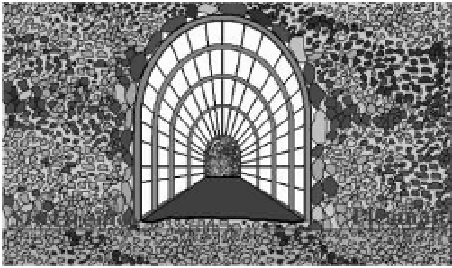
from the excavation of the face. (see
Figure 7
).
Figure 7. cross section of the recovery gallery of
Fuente santa spring showing the material through which
the gallery was excavated.
goals. at the beginning, with such a lining system
progress was made but it was slow and a length
of 50 m could covered, after crossing cinders and
piled stones produced by avalanches coming from
different directions. That chaos was followed by
the emerging of a lava flow that cover the full
heading of the gallery, constituted by fine grain
and very hard basalt that had to be excavated
by means of explosives. only ten meters further
beyond, suddenly disappeared to encounter the
loose stones once again. cementation progres-
sively decreased, and it became increasingly dif-
ficult to stabilize the heading so as to have an
excavated length of one meter forward to install
the following truss.
a shield-type of excavation was used, inserting
1,5-m long bars at the roof and shoulders of the
cross section, slightly tilted to the front. The effi-
ciency decreased but it could still cover a length
of 100 meters, just under the boring that provided
the reading of 42°c where a basalt flow appeared
again, similar to the previous one and also with
ephemeral nature because it vanished ten meters
ahead and the unstable cinders were found again.
however, prior to resuming the excavation, and
talking advantage of the stability of both excavated
basalt flows, two chambers were built (a and B, at
a distance of 50 and 100 meters, respectively) and
excavated through them under the soleplate until
reaching the maximum equinoctial low tide eleva-
Two underground pools were therefore cre-
ated whose water elevation varied with tides. They
were filled twice a day with a mix of the sea water
seeping from the sea shore and of the water from
Fuente santa spring that flowed from the subsoil;
the latter with a larger proportion of thermal water
than the former.
The first phase of the project came to an end.
4
The consTRUcTion oF The
GalleRY
That was the theoretical approach but the actual
excavation taught that fulfillment of such objec-
tives became more complicated than the predicted


