Geography Reference
In-Depth Information
good shelter for ships and there is an important naval
base at Makung. Because of their position in the Taiwan
Strait, the Penghu Islands are of great strategic impor-
tance to Taiwan.
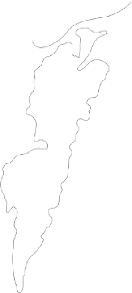
The island of Taiwan can be divided both vertically
and horizontally . The vertical division is created by the
north-south ridge of the Chungyang Shan (Central
Mountains) ranging from 10 to 35 miles (16-56 km) in
width. The Chungyang are extremely rugged with more
than 30 peaks reaching over 10,000 feet (3,000 m). The
highest is Y u Shan at 13,113 feet (3,997 m). River val-
leys and canyons cut the mountainsides, which are cov-
ered with coniferous and mixed forests. With the
exception of the Taitung rift valley , cool temperatures,
thin soils, and severe erosion hinder cultivation. Still,
the mountains are important for forest products and hy-
droelectric power.
Most people dwell on the western coastal plain,
which can be divided horizontally by the Choshui River.
T To the north are hills and basins, including those of
Taipei and Taichung. T To the south is a low , flat, alluvial
plain. The river also marks the climatic boundary be-
tween north and south. In the north, the rainy season is
from October to March; in the south it is from May to
September. T Typhoons are common in July and August.
Agricultural patterns differ as well with such crops as
rice and tea in the north and soybeans, pineapples, sug-
arcane, and other tropical crops in the south.
Agricultural output has steadily declined over the
years as farmland and employment shifts to urbanization
and industry . Taiwan is 78 percent urban with major
population clusters in the capital of Taipei, and in the
ports of Chilung, Tainan, and Kaohsiung.
122
°
TAIWAN
POPULATION
Under 50,000
50,000-250,000
250,000-1,000,000
1,000,000-5,000,000
Chilung
Sanchung
T aoyuan
T Taipei,
National capital is underlined
Chungli
Panchiao
Railroad
Hsinchu
Road
Lotung
Houlung
Highlands
Suao
Miaoli
Core Area
Yanli
0
40
20
60 Kilometers
0
10
20
30 Miles
Shalu
T Taichung.
Lukang
Changhua
24
°
24
°
Puli
Hualien
Pen
g
hu
Chuntao
Fenglin
Chiai
Tropic of Cancer
Matu
Kuanshan
Shanhua
Hsinhua
T Tainan,
T Taitung
Kaohsiung
Pingtung
Lu T ao
Fengshan
Tun gkang
Lan Yu
22
°
Hengchun
119
°
Longitude East of Greenwich
Figure 13-11
T Taiwan.
From H. J. de Blij and P . O. Muller,
Geography: Realms, Regions
and Concepts
, 14th Edition, 2010, p. 505. Originally rendered in color.
© H. J. de Blij and P . O. Muller. Reprinted with permission of John
Wiley & Sons, Inc.
FROM
BAO DAO
TO FORMOSA TO TAIW AN
Ancient Chinese maps portray the island of Taiwan as
the island of
Bao Dao
. Written accounts referred to it as
“a mudball across the sea, not worthy of China.”
Bao
Dao
was known to Chinese fishermen and pirates but
was inhabited by non-Chinese people. These aborigi-
nal people are Malay-Polynesian and are related to the
indigenous people of the mountains of northern Lu-
zon, the closest island of the Philippines. There are
nine distinct ethnic groups among the aborigines, each
with its own language and culture. However, immigra-
tion from China pushed these people into the moun-
tains and subsequent discriminatory policies of the
Taiwanese government have rendered their cultures al-
most extinct.
industrializing “countries” and has achieved tiger status
in terms of economic development.
THE PHYSICAL LANDSCAPE
Taiwan incorporates the main island and 64 smaller is-
lands called the Penghu Islands. The Penghu were colo-
nized by the Portuguese, who named them the
Pescadores (Fishermen). Here, fringing reefs provide


Search WWH ::

Custom Search