Environmental Engineering Reference
In-Depth Information
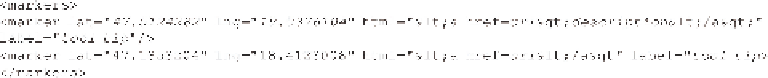
Figure 12.9
Sample xml file.
Figure 12.10
Interactive maps with online access to read and write (2013).
-
HTML: HTML code is used to display popup balloon. In the HTML codes, you
must use HTML tags “<'' instead of “
<
'' and “>'' instead of “
>
'' so as not
to confuse the XML code;
-
label: info displayed in tool tip window when the mouse cursor is over the point.
This XML technology is effective only for a few dozens of points. Google Maps
are accessed using Google Maps API 3, the free JavaScript library to display.
We have set up our own spatial database using PostGIS/PostgreSQL spatial
database server (Obe & Hsu, 2011) to publish large spatial data sets. A spatial database
stores GIS data (map objects and attributes) in a relational database, and the SQL
(Sequential Query Language) is used to access and update spatial data. To publish
the spatial data to the clients, a MapServer component is needed. MapServer is used
to serve standardized WEB map service (WFS and WMS) for the clients (Michell,
2005). Our digital map uses the OpenStreetMap (OSM) as a background layer from
the osm.org server (Figure 12.10). The clients connect to the ENFO WMS/WFS sever
and the OSM server using OpenLayers JavaScript library.
The mapping applications have only Hungarian user interface at this moment.

Search WWH ::

Custom Search