Environmental Engineering Reference
In-Depth Information
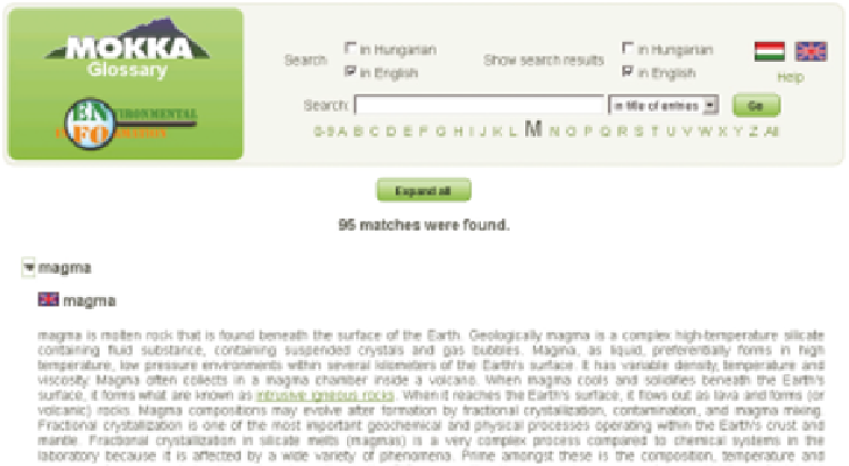
Figure 12.8
User interface of the glossary (2013).
Every visitor of the ENFO portal has read access to the database. One can browse
and search the published (validated) data in the database. Two different search engines
are available. One is called
full text search
. It is a Google-type search engine which
can find any text pattern in any field of the datasheets. The other search engine is
based on certain significant fields on the datasheets, and the user can identify complex
conditions.
To explain the terms used in the datasheets, a glossary of terms has been created
on the portal—the user's interface of the glossary page is shown in Figure 12.8. This
is also an online, bilingual system. Responsible hosts can extend the content of the
glossary database, but the owner (creator) of the term only has the right to edit it,
whereas other users can add comments to the definitions. Currently, English and Hun-
garian definitions of terms can be stored. Over 2,200 terms are currently stored in the
glossary. However, an English definition is available for 1,200 terms only. The terms
are crosslinked, so the users can jump from one definition to another related one.
Most of the data are related to a location on the surface of the earth. To have
spatial information, data map services were introduced on the portal. Two types of
dynamic maps are used to satisfy the various user demands. The simple solution is
based on Google Maps displaying overlay points.
Overlay point data collected by the ENFO team is stored in simple XML files.
The structure of the XML file is very simple and a simple text editor (e.g., Notepad)
can be used to create such files. Only two tags are used in the XML file: the root tag
<
markers
>
and one tag for the points
<
marker
>
(Figure 12.9). Each marker tag has
the following attributes:
-
lat: latitude of point in degrees (e.g., 47.5124282);
-
lon: longitude of point in degrees (e.g., 19.0376104);
Search WWH ::

Custom Search