Geography Reference
In-Depth Information
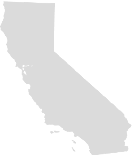
Figure 2.1
The Chinese province of Gansu and the U.S. state of California, drawn to scale
N
0
100
200
300
Miles
High and Dry
To provide a perspective on just how high and how dry western China is, some additional
comparisons with North American geography are useful. It is not only western China's
mountains that are at high elevation; the valleys and cities also require that their citizens
breathe hard. With an average elevation of about 2,070 m (6,790 ft), the state of Colorado
is the highest in the United States, and its capital city of Denver is known as the “mile-
high city.” But one need not travel to Lhasa (at 3,658 m, or just under 12,000 ft) to find
cities in western China that render Denver's oxygen concentration normal by comparison:
Qinghai's capital of Xining is not really on the Tibetan Plateau, yet at an elevation of
2,317 m (7,600 ft) is higher than Mexico City. Many other towns on the periphery of the
Tibetan Plateau are above 3,000 m (9,840 ft), elevations that in North America would
place them on top of mountain peaks.
All moisture gradients in western China (Figure 2.2.) are essentially variations on a
theme whose motif is aridity. Even the wettest portions of western China are barely able
to support forests; mean annual precipitation at Yushu in southern Qinghai (486 mm/yr)
is close to the worldwide mean for grasslands. But it gets drier north and west of Yushu.


Search WWH ::

Custom Search