Geology Reference
In-Depth Information
Table Rocks
Approximately 7 miles north of Medford, two
flat mesas known as Upper and Lower Table rocks
stand out 800 feet above the flat basin floor. With a
distinctive horseshoe- shape when viewed from the air,
Upper Table Rock is one mile square while Lower
Table Rock is slightly smaller. Both are capped by an
125 foot thick layer of dark grey basalt.
One to 2 million years ago, lavas flowing from a
volcanic source in the upper Rogue River watershed
were confined to the meandering canyon of the river at
higher elevations but spread out upon reaching the
broad Medford valley to cool and harden. Intensive
erosion of the lava in later Pliocene and Pleistocene
time left the two features as remnants of the once
entensive flow. Reverse or inverted topography of this
type occurs where stream valleys, cast in lava, later
stand out in relief after erosion has planed off the local
area. These two mesas near Medford are distinctive
because their U-shape preserves the ancient paths of
river meanders.
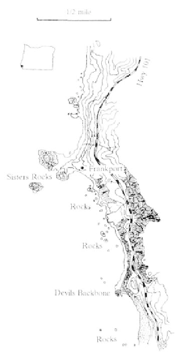
Coastal Region
Geologically part of the Klamath Mountains
province, the Oregon coast from Cape Blanco south
shows little resemblance to coastal regions to the
north. Here resistant lower Jurassic and Cretaceous
rocks have been eroded into an extremely rough
coastline of headlands and offshore stacks, shoals, and
rocky reefs, with few sandy terraces. The term, reef,
refers to a chain of rocks or a ridge of sand near the
surface of the water.