Geology Reference
In-Depth Information
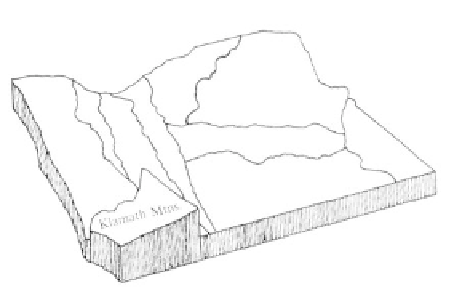
Klamath Mountains
Physiography
The Klamath Mountains physiographic prov-
ince is an elongate north-south trending area of
approximately 12,000 square miles, three-fifths of which
is in northern California and the remainder in south-
western Oregon. In Oregon the province is bordered
on the north by the Coast Range and on the west by
the Pacific Ocean. The broad Bear Creek Valley
separates the Klamaths from the Western Cascade
mountains to the east, and the state border marks the
southern limit of the Oregon Klamaths.
Although the region boasts deep, narrow
canyons and mountain peaks reaching over 7,000 feet,
for the most part the province exhibits an even relief
throughout that represents the old land surface before
it was worn down then uplifted for renewed erosion.
Mt. Ashland at 7,530 feet is the highest peak in the
Oregon Klamaths, while the Siskiyou Mountains,
forming the southern end of the province, display the
greatest relief. West of the Siskiyou summits, the tilted
upland surface drops to 2,500 feet before the land
abruptly breaks off to a narrow coastal plain with steep
headlands.
The Oregon Klamath Mountains province is
drained by the Rogue River, its main tributaries the
Illinois and Applegate, as well as by coastal streams,
the largest of which is the Chetco River. The watershed
of the Rogue begins on the western slopes of the
Cascade Mountains at Boundary Springs near Crater
Lake. Rowing southwesterly to Medford and Grants
Pass, the river drops 5,000 feet, making several major
turns before entering the Pacific Ocean at Gold Beach
after a distance of 215 miles.
securely welded to the mainland by granitic instrusives
before being rotated as much as 100 degrees clockwise
by the early Cretaceous.
Today seven separate terranes are recognizable
as making up the Klamath Mountain province. While
not extending into Oregon, the Eastern Klamath
terrane of California forms the oldest rock mass within
the province, to which the later terranes were affixed.
Because they were fabricated elsewhere, rocks of the
Klamaths are much older than those in any other part
of western Oregon, and the area may contain some of
the oldest formations in the state. While the oldest
known rocks in the Oregon Klamaths are Triassic,
Klamath province rocks as old as Ordovician at 450
million years are recorded in California.
The intrusion of Klamath Mountains terranes
took place in several waves of granitic rocks during the
middle and late Mesozoic. Occurring in four northeast
trending belts, most of the granite magmas making up
the plutons were emplaced after the terranes were
amalgamated. About 140 million years ago the Creta-
ceous ocean that covered much of Oregon deposited
sediments in a broad basin extending northward from
the upper corner of the Klamath Mountains. Material
deposited in this seaway was derived from volcanoes to
the east. Only a scattering of Tertiary sediments are
represented in the province by sands and silts carried
Geologic Overview
The Klamath Mountains are made up of pieces
of exotic terranes that were once parts of ocean crust
or island archipelago environments spanning the early
Paleozoic to Jurassic. Each of the terranes have distinct
rock layers and fossils by which they are identified.
Formed in an ocean setting, the tectonic slices were
carried eastward toward the North American landmass
where they collided with the existing continent. As
successive terranes were added, one after the other, the
mosaic of terranes arranged themselves like fallen
dominoes. After being accreted, the terranes were
51