Geology Reference
In-Depth Information
Diatomite, or diatomaceous earth, is composed
of the capsule-like skeletons of microscopic, single-
celled glassy aquatic plants. Their abundant presence
indicates an ancient lake bed once existed here in the
late Miocene or early Pliocene. Flourishing in the fresh
waters, diatoms build up a layer of skeletons on the
bottom of the lake by the millions. Absorbing as much
as 300 percent of its own weight, the lightweight
opaline diatomite is porous, fireproof, resists chemicals,
and is mined for use as cat box filler, to filter drinking
water, in swimming pools, and in chemical laboratories.
Geothermal Resources
Geothermal potential for the Deschutes-Columbia
River Plateau is moderate to low, similar to that of the
Blue Mountains province, although across the river in
Washington well waters have recorded high tempera-
tures. At Warm Springs, above The Cove Palisades
State Park, the Confederated Tribes of the Warm
Springs Indian Reservation operate a resort built
around the mineral springs discovered here in 1855.
The natural waters flow from Clarno basalts at 140
degrees Fahrenheit and smell somewhat of hydrogen
sulfide.
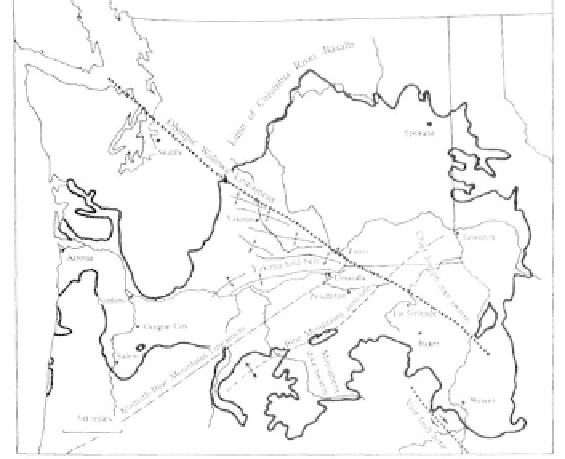
Major structural features of the Deschutes-Colum-
bia Plateau
phase of deformation. Additional uplift of the Blue
Mountains anticline, stretching, faulting, and thrusting
in the Blue Mountains and John Day region were also
part of these tectonic events.
Over the last 4 million years, the plateau was
subjected to continual but subdued north-south com-
pression. Cascade volcanics to the west changed in
composition, became localized along a narrow archipel-
ago, and greatly intensified. These conditions persisted
until faulting began to lower the volcanoes into a
graben along the western border of the Deschutes
basin. On the eastern flank of the Cascade graben, the
Green Ridge scarp is a well-defined fault zone. The
Green Ridge belt appears to merge with the Tumalo
fault zone to the south which in turn converges with
the Walker Rim and Brothers fault zones at Newberry
caldera. The Green Ridge and Tumalo fault zones
provided avenues for escaping lava and ash between
Bend and the Metolius River valley.
Features of Geologic Interest
The Cove Palisades State Park and the Deschutes
Canyon
By persistently cutting downward for millions of
years through layers of rock, the Metolius, Deschutes,
and Crooked rivers have produced deep gashes in the
flat Deschutes-Columbia River plateau to expose 15
million years of geologic history in a 1/2 mile thickness
of lavas, volcanic ash, and sand. Once these three rivers
merge about 10 miles west of Madras in Jefferson
County, the main branch of the Deschutes continues
another 80 miles to enter the Columbia River.
Two miles above this juncture, a secluded spot,
protected by steep canyon walls, was known as "The
Cove" by settlers in the early 1900s. The construction
of two dams in this section, the Pelton Dam in the late
1950s to back up river waters into Lake Simtustus and
Round Butte Dam in 1964, forming the 3-arm Lake
Billy Chinook, changed the configuration of The Cove.
The Cove Palisades State Park, originally composed of
3,620 acres when it was purchased as for parkland in
1940 and 1941, now encompasses 7,000 acres.
The geologic history in the park and Deschutes
canyon begins in the middle Miocene when the massive
lava flows of the Columbia River basalt filled most of
the ancestral river canyon to The Cove Palisades park.
These lavas originated from fissures in northeast
Oregon and southeast Washington and covered vast
Mining and Mineral Industry
Because of its volcanic character, the Deschu-
tes-Columbia River Plateau has not been an area of
extensive mining. Along the Deschutes River 6 miles
west of Terrebonne, diatomite was mined commercially
from a quarry beginning in the late 1950s and continu-
ing until the deposit was exhausted. The diatomite here
was up to 67 feet thick, and the layer has been cut
through by the Deschutes to expose the strata on both
sides of the valley. The soft white material is easily
distinguished from the surrounding tuffs, sands, and
lavas.