Geology Reference
In-Depth Information
canyons.
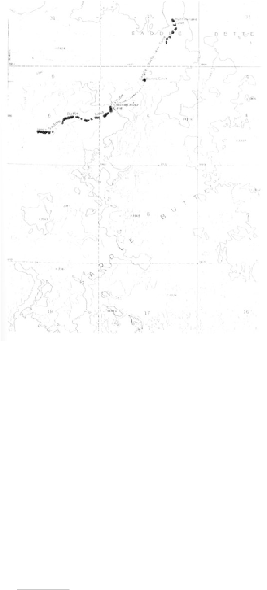
The Owyhee was dammed in 1932 to back up
the waters into a meandering 52 mile long lake. The
top of the dam is 417 feet above the foundation, and
the crest is 810 feet long. Developed as a state park in
1958, the surrounding 730 acres and river canyon with
its colorful formations carved into a variety of erosion-
al forms offer a geologic picture quite different from
any other in Oregon.
the-Ground, a 5 mile wide basin just above the dam,
and as flows forming the surface of Owyhee Ridge.
Numerous dikes on the east wall at Hole-in-the-
Ground are only a few feet wide where the fluid lava
cut through the sediments of the Sucker Creek Forma-
tion to fill cracks and fissures.
Between the Miocene and Pliocene, great fault
blocks developed creating basins where ash rich sedi-
ments, carried in by streams, accumulated with lava
flows in a sequence up to 2,000 feet thick. Yellowish,
orange, and brown beds of the Deer Butte Formation
are exposed extensively in the western part of the
Owyhee Reservoir and are responsible for the resistant
knobs of Deer Butte, Pinnacle Point, and Mitchell
Butte. Entombed in the conglomerates, sandstones, and
siltstones in these small basins are fossilized skeletal
parts of a wide variety of rodents as well as those of
beaver, rhinoceroses, and the small three-toed horse
Merychippus that lived on the eastern plains.
During the early Pliocene, 5 million years ago,
the climate became dryer, and grasslands were inter-
spersed with small ponds and a community of modern-
looking mammals. By this time the Owyhee River had
established its present channel. As the entire region
was slowly raised to an elevation of over 4,500 feet
above sea level, the ancestral streams continued
downcutting their channels to produce deep winding
A giant beaver, 7 1/2 feet long, lived in Oregon
during the Pleistocene
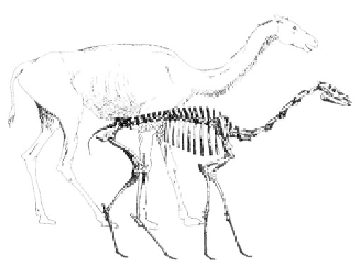
The long-limbed Miocene camel of eastern Oregon