Environmental Engineering Reference
In-Depth Information
1 Introduction
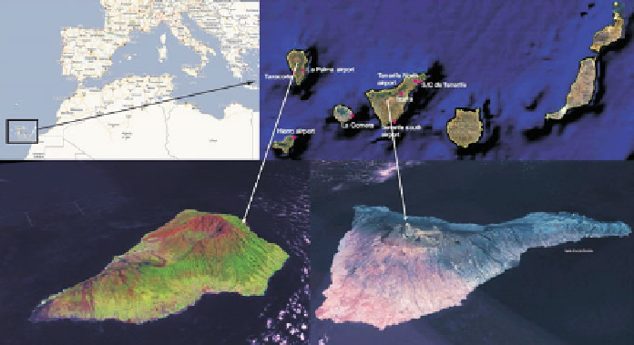
The Canary Islands are located in the middle-east of the Atlantic Ocean in front of
the southern coast of Morocco, between 27-30
◦
N latitude and 19-13
◦
W longitude
(see Fig.
1
). The complex topography of Canary Islands and the interaction with
the large-scale flow associated with extratropical storm Delta on November 28-29,
2005 contributed to the development of the extreme winds observed. The flow was
characterized by a warm core around 850hPa (Beven
2006
; Martín et al.
2006
;
NHC
2006
). It represented unusual meteorological phenomena for that region. The
highest wind speeds were recorded in meteorological stations located downwind
of steep mountain barriers in the western islands. This fact indicates that the strong
winds might be related to downslope windstorms (e.g., Lilly and Zipser
1972
; Peltier
and Clark
1979
; Durran
1986
) induced by the intense synoptic flow affecting the
archipelago. This work analyzes the development of strong downslope winds that
were observed in the Canary Islands during the influence of Delta storm.
Several authors have analyzed the sensitivity of numerical weather prediction
models under extratropical storm situations, taking into account the impact of the
observing system and the initial conditions (Zou et al.
1998
; Zhu and Thorpe
2006
;
Froude et al.
2007
) and the model uncertainties such as numerical scheme, horizontal
and vertical resolution and physical parameterizations (Orlanski et al.
1991
;Prater
and Evans
2002
; Forbes and Clark
2003
; Jung et al.
2006
). They have found a clear
dependence on the predictability of extratropical cyclones with the initial conditions
and model configuration.
Fig. 1
Location of Canary Islands

Search WWH ::

Custom Search