Environmental Engineering Reference
In-Depth Information
the Burry Inlet and Loughor Estuary and on the east by Swansea Bay and the valleys of the Clyne River
and Gors-fawr brook, which run from Blackpill to Gowerton.
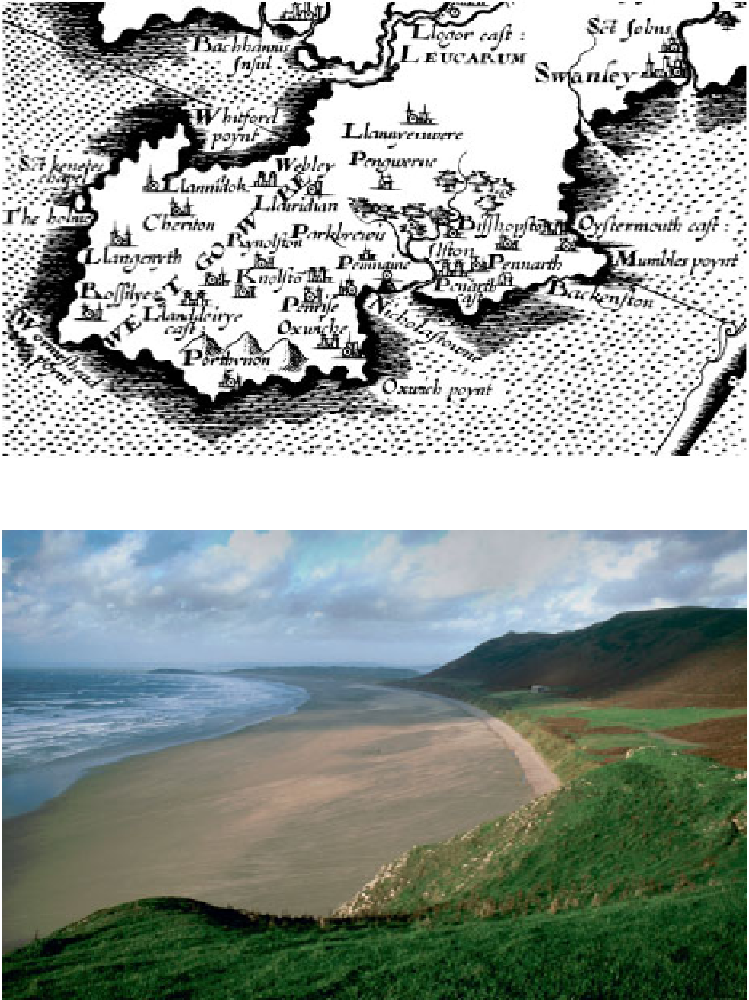
FIG
1.
Gower, as shown on Christopher Saxton's map of Glamorgan,
c.
1610. (West Glamorgan Archive Service)
FIG
2.
Rhossili Bay looking north from the Coastguard Cottages, one of the classic views of the Gower coast.
(Harold Grenfell)