Geoscience Reference
In-Depth Information
S
TRATIGRAPHIC SETTING AND
TAPHONOMY OF
D
OMINICAN
A
MBER
Figure
249
shows a map of the Dominican
Republic and the location of its amber
study of Dominican amber was by
Sanderson and Farr (1960). Since then, a
great many papers have appeared on
the fauna and flora from Dominican
amber.
249
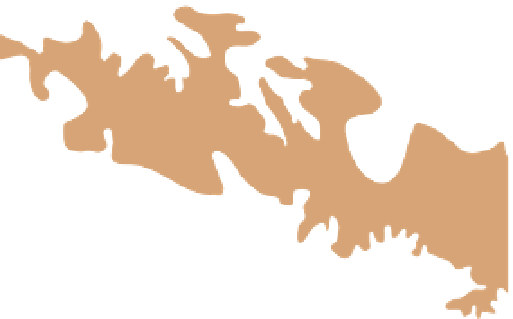
249 Map of the Dominican
Republic showing the location of
the amber mines, with particular
reference to those in the Cordillera
Septentrional after Martinez and
Schlee, 1984; Poinar, 1992;
Grimaldi, 1996.
70° 45' W
Puerto Plata
Imbert
19°
45'
N
Pescado Bobo
El Naranjo
Juan de
Nina
Los Aguitos
Las Auyamas
Palo
Alto
Aguacate
La Búcata
Los Higos
El
Arroyo
La
Toca
La Cumbre
Carlos Díaz
Las Cacaos
Villa Trina
5 km
Palo Quemado
5 miles
> 1000 m (3280 ft)
Santiago
500-1000 m (1640-3280 ft)
200-500 m (656-1640 ft)
< 200 m (656 ft)
Puerto Plata
N
Santiago
Santiago
HAITI
Pico Duarte
Santa
Domingo
ATLANTIC OCEAN


Search WWH ::

Custom Search