Geology Reference
In-Depth Information
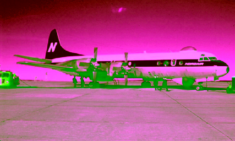
Figure 11.4
NORDAIR
Electra
aircraft CF‐NAZ used for visual ice reconnaissance between 1972 and 1977.
The observation dome is visible at the top of the aircraft.
certain areas at certain times upon requests by marine
clients. In 1960, regular ice reconnaissance covering the
Great Lakes began.
The first long‐term contract for ice reconnaissance was
awarded to Kenting Aviation, an aerial survey company,
which was merged later with Kenn Borek Air Ltd. Two
DC‐4 aircraft, CF‐KAD and CF‐KAE, were initially
used. They were replaced in 1972 by two Lockheed Electra
(L‐188C) aircrafts: CF‐NAY and CF‐NAZ, both owned
and operated by Nordair Ltd. of Montreal. A photo-
graph of the CF‐NAZ aircraft is presented in Figure 11.4
showing the observation dome at the top of the fuselage.
After an accident in March 1977, CF‐NAZ was returned
to service the following year under a different name, CF‐
GNDZ. Tactical CCG helicopter reconnaissance flights
were also used (and still are) in ice reconnaissance.
A new edition of airborne ice reconnaissance started in
1978 by installing the first side‐looking airborne radar
(SLAR) on the CF‐GNDZ. The other Nordair aircraft,
CF‐NAY, was equipped with SLAR in 1984. In 1986
a government-owned aircraft, DeHavilland DASH‐7
(C‐GCFR), was commissioned and also equipped with
SLAR. So, by 1986 the Ice Reconnaissance program had
three airborne SLAR platforms. SLAR could image a
100 km swath on either side of the aircraft and downlink
the data directly to icebreakers. The last flight of the CF‐
GNDZ was in early August 1989 and the last flight of
CF‐NAY was in February 1990.
After the retirement of the two Electra aircrafts, the Ice
Branch continued the reconnaissance program with a
contract with Intera Technologies to use their newly
developed SAR system on a Challenger aircraft, also
owned and operated by Intera. Two X‐band HH
polarization SAR sensors were installed to image a
100 km swath on each side of the aircraft with azimuth
resolution of 8.3 m and range resolution 18 m (narrow)
and 30 m (wide). Figure 11.5 is a picture of the
Challenger
aircraft showing the dome that houses the two radar
antennae at the bottom of the aircraft. The SAR images
were displayed in real time during flight, printed and
recorded in the onboard computer. Images were down-
linked through a telemetry system to the Ice Centre in
Ottawa as well as a few marine users in the field. Visual
reconnaissance was not possible from the aircraft as it
flew at high latitudes with high speed. Flights were con-
ducted every 2 or 3 days and each mission covered typi-
cally 3500 km in about 5 h. The SAR program provided
valuable data but it was expensive. The last flight of the
Challenger
aircraft was on 31 March, 1995. More informa-
tion on ice reconnaissance using airborne SAR can be
found in
Sutton
[1991], and a review of the operational
remote sensing use for sea ice monitoring up to 1990 is
presented in
Falkingham
[1991]. Presently, a DASH‐8 air-
craft stationed at Moncton and equipped with SLAR
(owned and operated by the DOT) is used to carry out
aerial reconnaissance of sea ice in the east coast of Canada.
Airborne ice reconnaissance programs virtually dimin-
ished when the Canadian radar satellite (Radarsat‐1)
came into service in 1996. Satellite imagery was intro-
duced to the ice analysis and forecast program for the
first time in 1960 when the first TIROS reception facility
was implemented in Halifax by the Meteorological
Branch of the DOT (see the first captured image in
Figure 7.6). Although the images from this first auto-
matic picture transmission system were acquired at very
coarse resolution with very high noise level, they offered