Global Positioning System Reference
In-Depth Information
1
2
3
4
5
6
7
8
9
10
11
12
13
14
15
16
17
18
19
20
21
22
23
24
25
26
27
28
29
30
31
32
33
34
35
36
37
38
39
40
41
42
43
44
45
[17
Lin
—
-
——
No
PgE
[17
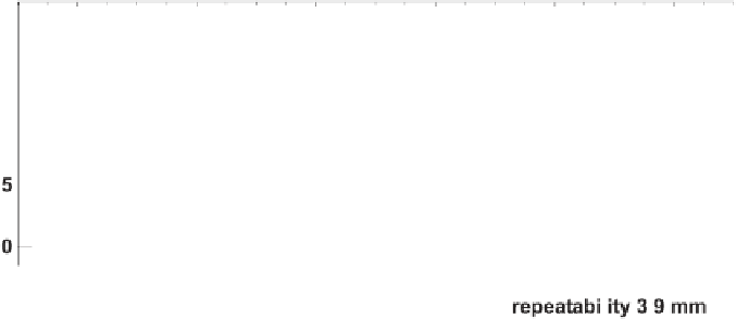
Figure 2.3 Observed motion of station ALGO.
The GPS data are used to compute daily
estimates of latitude, longitude, and height at each site. Velocity estimates are derived from
the time series and typically improve with the time span T in years according to 3.6 mm/T,
4.5 mm/T, and 9.1 mm/T for the north, east, and vertical components, respectively. Recent
comparisons of the GPS velocities with ITRF00 show agreement at the level of 0.7 mm/yr for
no
rth and east, and 1.5 mm/yr for the vertical. (Courtesy of Mike Heflin, JPL.)