Geology Reference
In-Depth Information
the two profiles are not identical. The profile beginning at
Station 2 shows a slight dip in the bedrock under the
valley holding the meteorite concentration. It loses 500
meters in its first 3.5 km, then the bedrock rises 250 m in
the next 2.5 kilometers, and finally it slopes steadily
downward to a depth of 750 meters under Station 20.
The dip is not repeated in the second profile, from Stations
1 to 19, where the bedrock slopes gently westward with
only a slight flattening after the first 2.5 km.
that one and drive to the starting line. Sweeps continue to
be made until the area of interest has been completely
searched. This technique is a very efficient way to spot
meteorites down to a few millimeters in size.
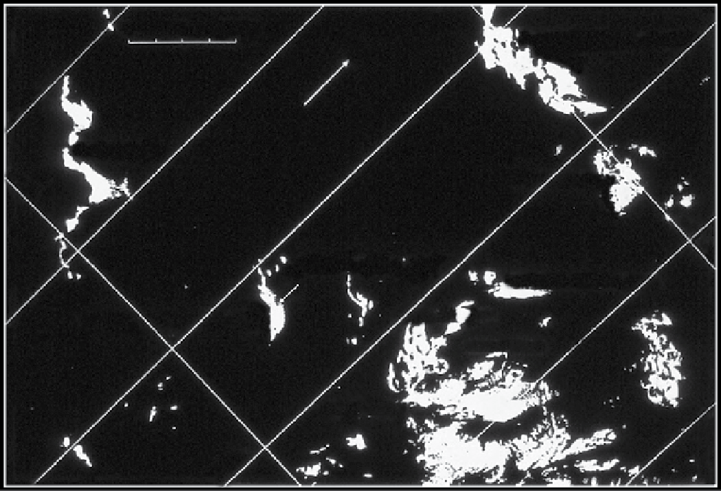
In the area to the west and southwest of the Allan Hills
Main Icefield lie three icefields called the Near Western,
Middle Western, and Far Western Icefields. In addition,
there is the Battlements Nunatak Icefield, which lies
north of the Main Icefield (See Figure 1.10).
The Main Icefield is about 22 km long and encom-
passes some 75 km
2
of blue ice. The Near Western Icefield
consists of five separate ovoid patches lying about 18 km
NNW of Peak 2330 and includes more than 14 km
2
of
bare ice. The Middle Western Icefield lies 31 km WSW of
the Peak and consists of 30 km
2
of ice. The Far Western
Icefield is larger than the Main Icefield, being more than
40 km long and 2 to 8 km wide with an area of more than
100 km
2
. A planned reconnaissance of that large field was
cancelled for this season because of poor weather and
insufficient time. It seems very possible that all of these
icefields are the currently exposed portions of one
gigantic field separated by variable zones of snow cover.
Changes in wind patterns and drifting snow, together
1.14.5. Systematic Sweeping of the Allan
HilIs Icefields
A major advance in field surveys, begun in this season,
was the systematic sweeping of icefields. In a systematic
sweep, three or more steel-cleated snowmobiles line up
abreast, several meters apart, and drive straight ahead in a
given direction, with each driver examining the ice on
both sides. At the end of the first traverse, all snowmobiles
reverse their direction. The driver who occupied one edge
of the group (often the right-hand edge) simply pivots in
place and follows his or her own track back to the starting
line. The others line up at appropriate distances beyond
0
10
20 km
Reckling Moraine Icefield
Far Western Icefield
Reckling Peak
Near Western Icefield
Battlements Nunatak
Main Icefield
Middle Western Icefield
Allan Hills
Peak 2330
Figure 1.10.
The icefields to the west and north of the Allan Hills.