Geography Reference
In-Depth Information
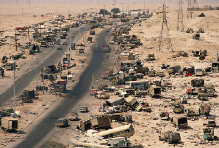
“HighwayofDeath”inNorthernKuwait,March12,1991.
©
PETER TURNLEY/CORBIS
whether the Soviets actually showed the Iraqis satellite imagery, or whether such
photos played a role in convincing Saddam to end the lopsided conflict. If that
did happen, it would be the first time satellite photos halted a major conflict.”
25
Whether or not this is true, the question itself prefigures what would become
the central political, rather than military, role of satellite imagery in the following
decade—as
evidence
, presented both to leaders and to civilians, in debates about
the conduct of war.
Search WWH ::

Custom Search