Geography Reference
In-Depth Information
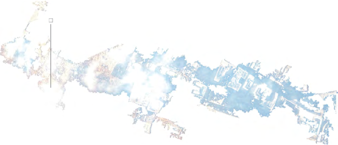
Spectralsignature:blue=71,green=76,red=61,lutvalue=255
40°42'43”N,74°00'48”W
missing are the missing, thousands of people missing, nearly three thousand ulti -
mately confirmed dead. Beneath or beyond the limits of visibility, of data, are the
dead. And yet they remain in the image, in the ruin of the image, and demand a
certain care or respect.
In the image, four days later, the ruin is still on fire. Smoke hovers nearby, dis -
placed from the site by the wind. It does not cast a shadow, the way a cloud farther
to the south obscures the area near the rubble of the World Trade Centers. Dur -
ing the weeks following September 11, one could not always register directly what
had happened in the city—until the wind changed directions and you smelled
the smoke.
It is hard to isolate anything on this image. When one tries to isolate the disas -
ter site by selecting similar pixels, the image-processing software tends to equate
rubble with buildings. But it can isolate the smoke and what remains hazily below
the smoke. So choose a pixel in the middle of the disaster site—it has a longitude
and a latitude and a spectral signature. The software can then associate this pixel
with similar pixels, and the area can grow to define the most changeable part of
the site: the cloud of smoke that bears witness to the crime. Displaced, caught in
motion, it records a particular moment of September 11, four days later.
Search WWH ::

Custom Search