Geography Reference
In-Depth Information
He il on gj iang
Ji li n
Inner Mongolia
Li aonin g
Beij in g
Ti an ji n
He be i
He be i
Shanx i
Ningxia
Shaanxi
Shand on g
Ga ns u
Ga ns u
Qi ngha i
He na n
Ji angs u
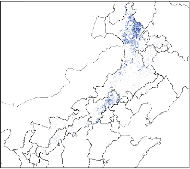
Fig. 3.12
The agreement grids of classification among GLC, UMD, IGBPDIS and WESTDC
meteorological conditions. The topography at every grid could be described by
landform classes (e.g. hill, slope, depression et al.) by processing the raw elevation
data, and the meteorological data of observation could be interpolated to 1 km grid
cell. Therefore, these datasets could be expressed with the 1 km grid data. The
additional information sources were used to refine result of the C4.5 classifier. We
overlapped land cover maps and these ancillary data, and sampled the dataset for
ASCII text format with the ArcInfo WorkStation toolkit. Thereafter the dataset for
the training and testing the classifier of data mining in the WEKA toolkit is
constructed.
3.3.2.2 Constructing the Classification Method to Identify
Vegetation Types
Many classification methods have been proposed by researchers in the fields of
machine learning, pattern recognition and statistics. In this study, we focuses on
the classification methods to convert forest and grassland classification to the
IGBP land cover scheme. In this case, the hidden and valuable knowledge