Geology Reference
In-Depth Information
?
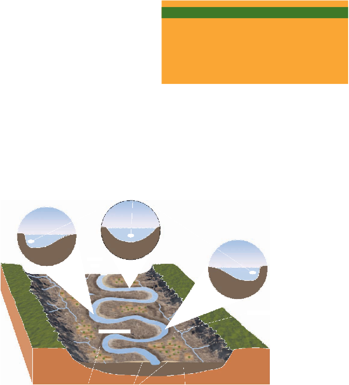
velocity and depth rapidly decrease. As a result, ridges of
sandy alluvium known as
natural levees
are deposited
along the channel margins, and mud is carried beyond
the natural levees into the floodplain where it settles from
suspension (Figure 12.13b, c).
What Would You Do
Given what is known about the dynamics of running water in
channels, it is remarkable that houses are still built on the cut
banks of meandering rivers. No doubt, property owners think
these locations provide good views because they sit high above
the adjacent channel. Explain why you would or would not build
a house in such a location. What recommendations would
you make to a planning commission on land use for areas as
described here? Are there any specifi c zoning regulations or
building codes you might favor?
Where a river or stream flows into a standing body of
water, such as a lake or the ocean, its flow velocity rap-
idly diminishes and any sediment in transport is depos-
ited. Under some circumstances, this deposition creates a
delta,
an alluvial deposit that causes the shoreline to build
outward into the lake or sea, a process called
progradation.
The simplest prograding deltas have a characteristic ver-
tical sequence of
bottomset beds
overlain successively by
foreset beds
and
topset beds
(
are deposited as gently inclined layers, and topset beds,
consisting of the coarsest sediments, are deposited in a net-
work of
distributary channels
traversing the top of the delta
(Figure 12.14).
Small deltas in lakes may have the three-part sequence
described above, but deltas deposited along seacoasts are
Figure 12.14). This vertical
sequence develops when a river or stream enters another
body of water where the finest sediment (silt and clay)
is carried some distance out into the lake or sea; there it
settles to form bottomset beds. Nearer shore, foreset beds
◗
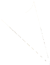
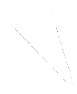
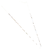
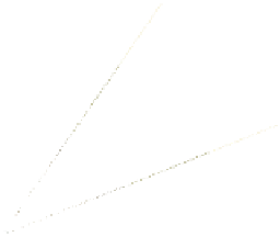
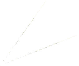
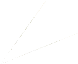
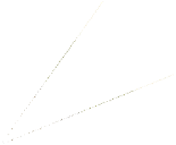
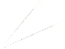
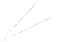
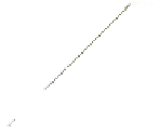
Areas of maximum velocity
Bluffs
Meander neck
Cut bank
Natural levees
Floodplain
mud deposits
◗
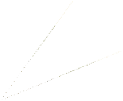
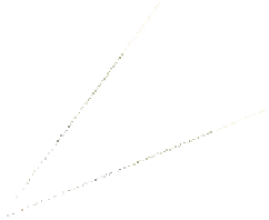
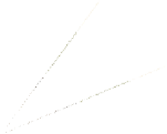
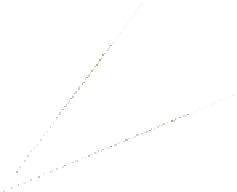
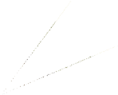
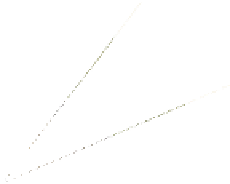
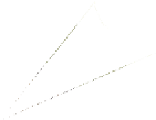
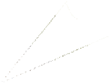
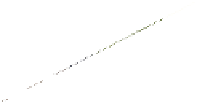
Figure 12.10
Diagrammatic View of a Meandering Stream The length of the arrows is proportional
to fl ow velocity.


Search WWH ::

Custom Search