Geoscience Reference
In-Depth Information
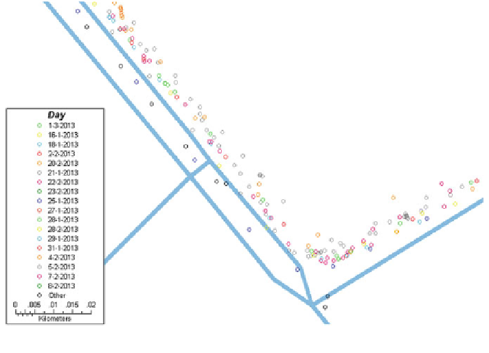
Fig. 5 Distances from the GPS log points of different days to road segments
The true sample data was prepared using the carefully recorded diary and the
road network data within GIS. The locations, which cannot match with any road
segments, were excluded. We divided the sample data into two datasets, one is for
training purpose and the other is for test purpose. The datasets were selected ran-
domly in terms of trips and road categories, by setting 75 and 25 % as the training
and test dataset, respectively.
Since the connectivity is considered as one of the determinant variables, it is
important to
first road segment of the starting log point (origin). Because of
the effect of signal issue in the activity locations, the log points which are closed.to
the true activity location might be
nd the
fluctuated. Moreover, a prompted recall cannot
ensure the mentioned location as a truth. Therefore, we add some additional
fl
filters
in assisting the identi
cation of the origin. More speci
cally, we include the
information of personal pro
les and the validated location names in combination
with the activity type. In concrete, if the personal pro
le is available in terms of the
activity type, we picked the coordinates of their personal locations directly from the
database of personal locations. Otherwise, the location names will be used for
online geo-coding to
find a valid coordinates through Google service. Finally, if
both the personal pro
les and location names are missing or incomplete for some
reasons, we fetch the original GPS traces according to the start time and/or end time
of the activity. Finally, the coordinates of the origin are generated as to provide
references of map matching for the consequent GPS log points. A detailed
implementation procedure is depicted in Fig.
6
.
Search WWH ::

Custom Search