Geoscience Reference
In-Depth Information
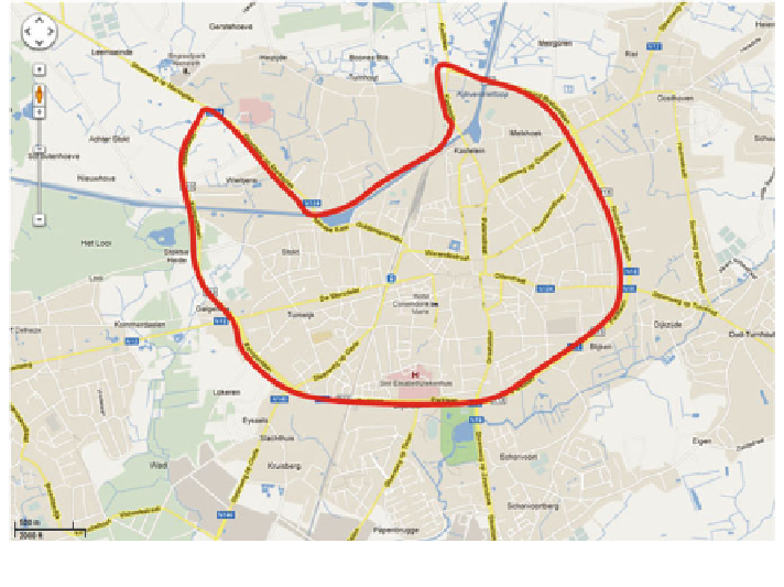
Fig. 1 Study area: Turnhout, Belgium (source Google Maps)
s road network consists of 531 street segments (links between two
intersections). On 85 % of the street segments on-street parking is allowed. In total,
7 street segments can be used as entrance of a parking facility. The parking tariffs
for on-street parking range from 0.00 (Free) to 2.00 euro/h. On almost 50 % of the
road segments parking is free. Most streets (approximately 80 %) are two direction
streets. Approximately 90 % of the road segments include one or more residences.
All these streets are designed as local roads. On almost 15 % of the road segments
one or more shops are present.
The data collection took place in November 2012. In total, 15 persons partici-
pated in the
The city
'
field study describing 97 trips (Fig.
2
). The small number of partici-
pants was mainly caused by limited time and money resources. Unfortunately, the
respondents are not equally distributed across the included personal characteristic
levels: gender (60 % women, 40 % men); age groups (46 % younger than 36 years,
54 % older than 35 years); and familiarity with the city (74 % well to very well, 26
% limited to poor). Regarding the trip purpose, it appears that 36 % of the trips were
work related trips, 27 % shopping trips, 19 % leisure trips, and 18 % other (like
picking up or dropping of persons).
To determine the
'
search
'
part of a trip the following approach is applied. The
approach is based on experiences from previous empirical studies [
4
]. The best
method found until now, starts at the arrival time of the car and includes infor-
mation concerning average speed (over different observations) and acceleration or
deceleration of the car (
'
speed change
'
). The search for an optimal average travel
Search WWH ::

Custom Search