Geoscience Reference
In-Depth Information
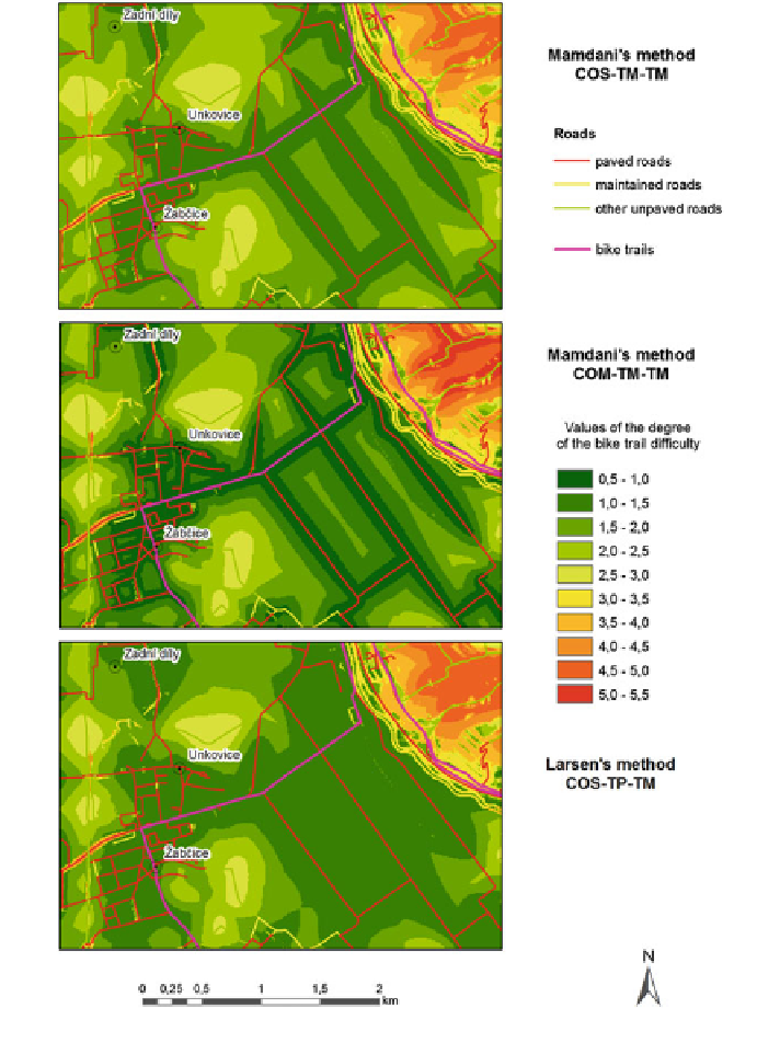
Fig. 16 Comparison of the methods in the region detail
First, we perform the extract of the cells of this raster that corresponds to roads
de
ned by a buffer mask. Then the raster is converted to point feature class with the
attribute from raster. The aspect as the slope direction is added to every point which
obtains the near information about distance to the nearest road line, too. Finally, we
extract and join the value of the difference Mamdani
'
s raster and Mamdani
'
s
“
null
”
Search WWH ::

Custom Search