Geoscience Reference
In-Depth Information
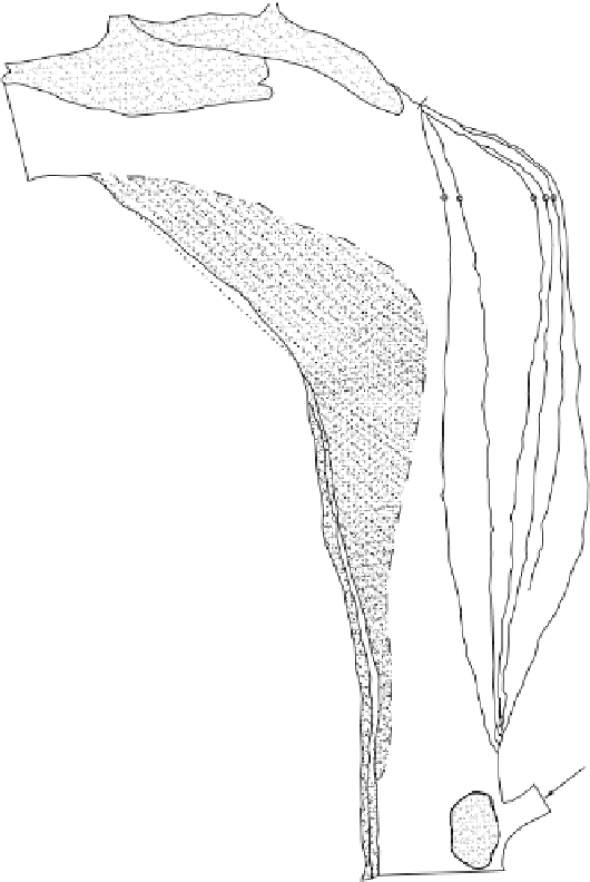
RIVER BHAGIRATHI
MIGRATION OF LEFT
BANK LINE
RAMCHANDRAPUR
MAYAPUR
NABADWIP
SWARUPGANJ
Fig. 5.9
Bankline migration near Mayapur reach
Bhagirathi alone is of the volume of about 8.5 million cubic metres and yearly land
loss is about 220 hectares. It revealed that erosion in the Hooghly is much less than
in the Bhagirathi, due probably to the presence of major towns and industries on
both banks of the former and to protective measures taken by authorities to save
their buildings etc. (Fig. 5.10). Photographs 5.4 and 5.5 show the type of bank ero-
sion near village Palasi in Murshidabad district and Nayachara island in Hooghly
estuary.
A noted village, Fazilpur, lies in the reach between the off-take point and Moya
village where the distance between the Ganga and the Bhagirathi is the minimum,
about 1.20 km only. In 1980, when the right channel was more active, severe erosion


Search WWH ::

Custom Search