Geoscience Reference
In-Depth Information
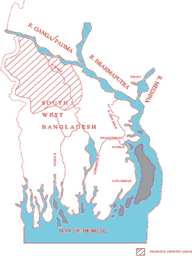
Fig. 10.7
South west part of Bangladesh showing the probable affected area due to water diversion
the river; it would be less in a confined, or a partly confined, aquifer. The geol-
ogy of southwest Bangladesh indicates that much ground-water is stored in sandy
aquifers, partly confined by lenses of silt. Moreover, the contours indicate that
ground-water flows toward the Ganga, the Baral, the Gorai and the Naba Ganga
etc. The team, therefore, concluded that though ground-water levels changed sig-
nificantly in 1976 and 1977, its causes were difficult to establish accurately and
the blame could not be laid wholly, or primarily, on diversion at Farakka. The
Search WWH ::

Custom Search