Information Technology Reference
In-Depth Information
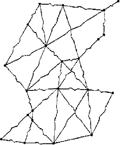
Fig. 4.2
Spring map of roads
in western Colorado
The spring map model can indicate the shortest directions in space. A non-
Euclidean representation by design, it presents the idea that the shortest paths often
differ from a straight line. In this perspective, it constitutes a possible proposal
to call for non-Euclidean geography (
Golledge & Hubert
,
1982
;
Müller
,
1982
).
Recently, but in the same vein, a model has been formulated to introduce a three-
dimensional surface that allows for the representation of different speeds in urban
spaces (
Hyman & Mayhew
,
2004
).
Sharing a principle of construction similar to that of the spring map, the time-
space relief map was introduced in the 1990s (
L'Hostis
,
1996
;
L'Hostis, Mathis, &
Polombo
,
1993
;
Mathis
,
1996
). This type of representation preserves the location of
places but exploits three-dimensional resources to draw the various speeds and the
corresponding time-distances in a multimodal network.
4.1.2
Air and Road Modes As Major Inter-
and Intra-Metropolitan Transport Systems
Globalization, along with metropolitanization as its urban counterpart, is made
possible through the development of efficient, long- and short-haul transportation
systems. If metropolises can be defined as urban entities that communicate on a
global scale, then the air transportation mode constitutes the primary passenger
transportation system associated with globalization (
Sassen
,
1991
;
Haggett
,
2001
).
Search WWH ::

Custom Search