what-when-how
In Depth Tutorials and Information
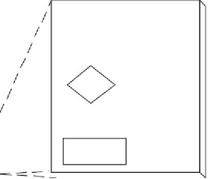
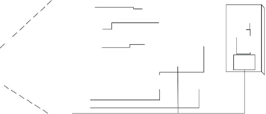
Partial CLIOS Diagram for
the Transportation Subsystem
CLIOS Sub-systems
(Layering)
Expanding
GDP
Intermodal
Connections
Economic Activity
Resident and
Workplace
Location
Highway
Network
Land Use
VM T
Institutional Sphere
Vehicle
Emissions
Highway
Operations
Highway
Infrastructure
Environment
Funding
Allocation
Physical
Domain
Transportation
Congestion Charging
Emission Regulations
Institutional Sphere
Map
CLIOS
State DOT
EPA
Federal DOT
Figure 2.4
Illustration ofStep3forasociotechnicaltransportationnetwork example.(FromMostashari,A.andSussman,J.
2009.Aframeworkforanalysis,designandoperationofcomplexlarge-scalesociotechnologicalsystems.
International Journal
for Decision Support Systems and Technologies
,1(2),52-68,April-June2009.)