Travel Reference
In-Depth Information
To reach the dam area and the state park from I-55, take exit 252 at Sardis and go east on
SH 315, which goes right to the dam. The left fork will take you to the state park and to the
road that runs along the top of the dam; the right fork goes to the camping area and to Lower
Lake. The two forks rejoin, and SH 315 goes on south to intersect SH 6, which goes east to
Oxford.
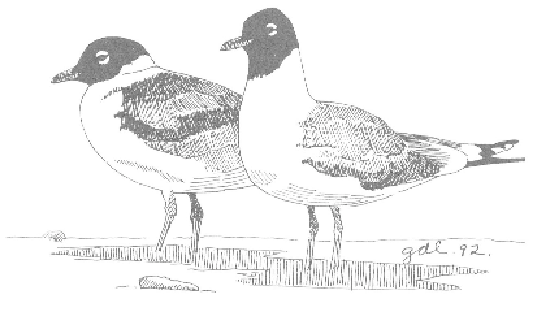
Franklin's Gull
John W. Kyle State Park has a number of places to sit and look out over the lake and the
dam. Apparently, a few of the thousands of Canada geese that winter at Sardis Lake have de-
cided it is a nice place to stay year-round. In spring, you can spot pairs of geese walking and
swimming their newly hatched goslings in the area just below the lodge, which is built on a
peninsula from which you can see great views of the dam. The park has picnic areas, cabins,
a boat ramp, and a short nature trail at this portion. A campground on Corps land below the
dam is run as the campground for the state park.
The dam itself has good vantage points for scanning the lake at both ends, and below the
dam, between it and Lower Lake, is a maze of campgrounds, picnic areas, and day-use areas.
A nature/fitness trail is provided at the southern end of Lower Lake. Lower Lake is worth
checking for gulls and waterfowl during winter, and many areas provide views of the lake.
My favorite is Cypress Point on the west side of the lake, as it is usually less crowded and
less used by other visitors.
On the portion of SH 315 north of the dam, just before the road crosses the emergency
spillway for the river as you head for the dam, there is a gravel road to the west; 1.1 miles