Environmental Engineering Reference
In-Depth Information
position fixing of the sampling stations. Elevation of the sampling stations has been measured
by the Topographic Abney level.
Water samples were collected monthly from the vicinity of
P. coarctata
bed of the study
area throughout the sampling session. Sediments samples were also collected in each month
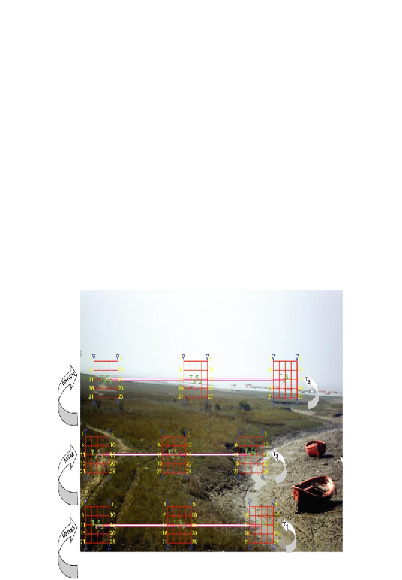
from nine sampling stations placed in three transects at different tide marks (Figure 2).
Sampling Procedure
Sediment samples were collected from nine sampling stations (Figure 2) for measuring
free soil water salinity, soil organic carbon & organic matter, soil texture, bulk density,
particle density, porosity, exchangeable Ca, Mg, K, total nitrogen and available phosphorous
of soil. A hand held cylindrical corer (6.5x15cm
2
) and polythene bags were used to collect the
sediment samples. The collected samples were stored in the laboratory for further analysis of
different pedological factors. Sub surface water samples of the study area also collected in a
water sampling bottle for measuring total suspended solids (TSS) in the laboratory. Water and
soil temperature, water and soil pH, water transparency and dissolved oxygen were measured
in situ
during the collection of samples. Tidal height, inundation period and water table depth
of each sampling station were measured for three consecutive days in every month during the
spring tide of each lunar phase. Average results of three days sampling data for tidal height,
inundation period and water table depth were calculated for each month.
Figure 2. Sampling design showing different sampling stations with sampling spots of the study area.