Geoscience Reference
In-Depth Information
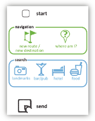
Figure 4:
Pidgets for map interaction
In the mobile data capture scenario a form with attributes that describe and
classify road damage is created. The form also contains the Anoto-Pattern.
Prior to an inspection the user has to select the area in his GIS and print it
as a map on the form. On the street the user can draw the outline of the
damaged area on the map and tick all the attributes that apply. When
synchronizing the pen with a PC, the drawn shape and the attributes are
processed and stored in a database.
The form uses the Anoto Copied Pattern, meaning each form uses the same
coordinates to determine the position of the pen. To draw on different
maps those coordinates have to be translated in the selected map-area and
therefore size and parameters have to be stored when the map is printed. A
plugin to Intergraphs GeoMedia GIS is developed to store this information
and to provide a unique ID and print it alongside the map. It is also used to
read and process the gathered information from the pen after the transmis-
sion. Besides storing the attributes, the drawn geometries are simplified by
the Douglas-Peucker algorithm and outlines are closed if necessary. Now
the captured object and its attributes can be viewed and edited in the GIS
(
Figure 5
).