Travel Reference
In-Depth Information
Pays de Caux
South of the striking white
cliffs of the Côte d'Albâtre, and
bordered by the fertile Seine and
Bresle Valleys, this immense
chalky plateau provides wonder-
fully rich soil for arable farmland.
You can catch glimpses of the
half-timbered buildings and apple
orchards of the farmsteads
through their massive stone
gateways.
d
Map H1, H2
Parc Naturel Régional du
Perche
Between the Beauce plains and
the Pays de Bocage, this 1,820
sq km (700 sq mile) regional park
was created in 1998. The high
ground is forested; the lower
slopes are planted with orchards
and hedges. Châteaux and manor
houses pepper the landscape.
d
Map H6
•
For information: Maison du
Parc, Courboyer. 02 33 85 36 36
Pays d'Ouche
As you journey from north to
south, the landscape changes
from the heavily wooded Eure to
the lush, green countryside of
the Orne. Spanning both, the
Pays d'Ouche is blessed with
abundant water. Streams, rivers
and lakes make it something of a
paradise for anglers.
d
Map G5, H5
Parc Naturel Régional des
Marais du Cotentin et du
Bessin
The wetlands that characterize
this park stretch 1,250 sq km
(480 sq miles) from Les Veys to
Lessay. The eastern marshes are
home to many species of migrat-
ing birds and small mammals,
which can be watched and studied
from hides and nature reserves.
d
Map B3
•
Maison du Parc: 17 rue de
Cantepie, Les Veys. 02 33 71 61 90
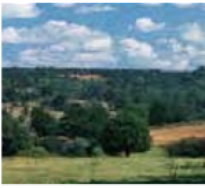
Pays de Bocage
Pays de Bocage
From the south of Cotentin
down to southwest Calvados,
this is an intensely rural and
unspoiled stretch of countryside,
much loved by ramblers - a
patchwork of meadows,
interrupted only by woods,
rivers, picturesque villages and
the distinctive network of
hedgerows that gives the region
its name.
d
Map C4
Pays de Bray
Occupying land in
the northeast formed
by a geological fault
known as the
boutonnière
(buttonhole),
Normandy's least
populated area
contains the Béthune,
Andelle and Epte
Rivers, and rich
pasture perfect for
dairy farming.
d
Map K2
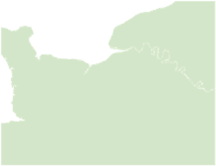
Dieppe
5
English
Channel
Fécamp
Etretat
8
Cherbourg
Le Havre
4
Rouen
Honfleur
7
Deauville
Pont-
Audemer
Bayeux
Caen
Lessay
Lisieux
Vernon
St-Lô
1
Bernay
0
Evreux
Thury-
Harcourt
2
Falaise
Argentan
Granville
6
Vire
Flers
L'Aigle
3
Dreux
Avranches
Domfront
Mortagne-au-Perche
9
Chartres
Alençon
Fougères
50
miles
0
km
50
For more on forests
See pp66-7
43