Environmental Engineering Reference
In-Depth Information
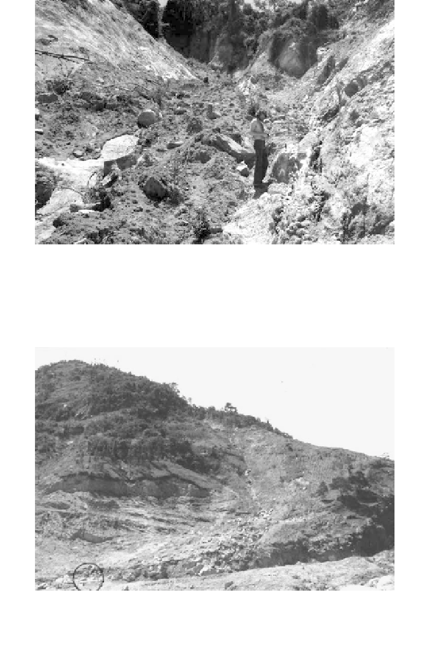
FIGURE 9.48
The force of hydraulic excavation is evident in this photo taken in a typical V-shaped scarred zone of a debris
avalanche. Location is near the crest of the hill in
Figure 9.49.
The bedrock surface is exposed.
FIGURE 9.49
Debris avalanche that covered BR 101 near Tubarao, Santa Catalina, Brazil during torrential rains in 1974. Note
the minibus for scale. The debris lobe crossed the highway and continued for a distance of about 200 m and
carried boulders several meters in diameter. Debris has been removed from the roadway. It is unlikely that a
failure of such a magnitude could have been foreseen for this particular location.