Environmental Engineering Reference
In-Depth Information
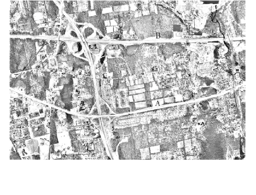
FIGURE 2.18(B)
Aerial photo of West Nyack area. Soil cut at (B); rock cut at (A).
Figure 2.19.
A geological section through the area is given in
Figure 7.89.
The
conditions shown on the preliminary map were investigated with seismic refrac-
tion surveys and a few test borings and pits. For sanitary sewer studies, the
major concerns are depth of rock and groundwater as they affect excavations,
and foundation problems caused by weak soils such as organics and lakebed
soils. The large cuts along the highways expose conditions and serve as very
large test pits. A rock cut in sandstones is indicated as A, and a soil cut in glacial
till is indicated as B on the stereo-pairs of Figure 2.19.
Other map forms
prepared for engineering studies can include:
1.
Geologic hazard,
or
risk maps,
which delineate geologic conditions in terms of var-
ious degrees of hazard or risk such as terrain where soil liquefaction or slope
failures are of concern. An example of a slope-failure hazard map prepared for a
mountain roadway is given in
Figure 9.96.
.
2
Geologic constraint maps
(
Figure 8.58)
form the basis for the preparation of land-
use maps (
Figure 8.59).
2.2.5
Site Reconnaissance
General
All sites should be visited by an experienced professional to collect firsthand information on
geology, terrain and exploration equipment access, existing structures and their condition,
existing utilities, and potentially hazardous conditions. Prior examination of aerial photos
will identify many of the points to be examined.