Environmental Engineering Reference
In-Depth Information
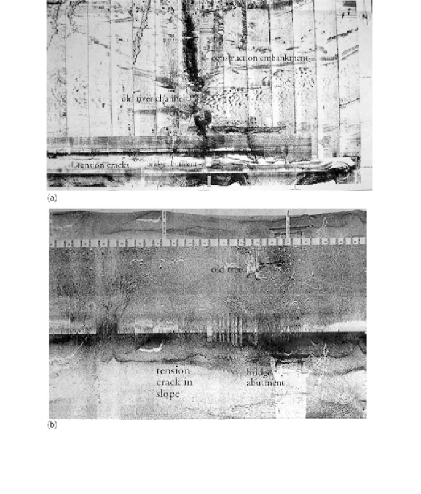
FIGURE 2.9
Side-scan sonar images of a reservoir bottom. (a) Side-scan sonar mosaic of reservoir bottom, water
depth
180 ft; (b) detailed side-scan sonar image. A portion of the mosaic in (a). (Courtesy of
Woodward-Clyde Consultants.)
into a reservoir. Figure 2.9a is a mosaic of a number of passes where water is 180
ft deep. Figure 2.9b is a portion of one image showing the escarpment or tension
crack along the reservoir margin. These images usually are obtained on a proj-
ect-based need (also
Figure 9.59).
2.2.4
Terrain Analysis
General
Significance
Terrain analysis is often the most important part of any geotechnical investigation.
Landforms (topographic expression) and other surface characteristics are strong indicators