Environmental Engineering Reference
In-Depth Information
TABLE 6.2
(
Continued
)
Geologic Condition
Predominant
Geologic Condition
Predominant
Drainage Pattern
Drainage Pattern
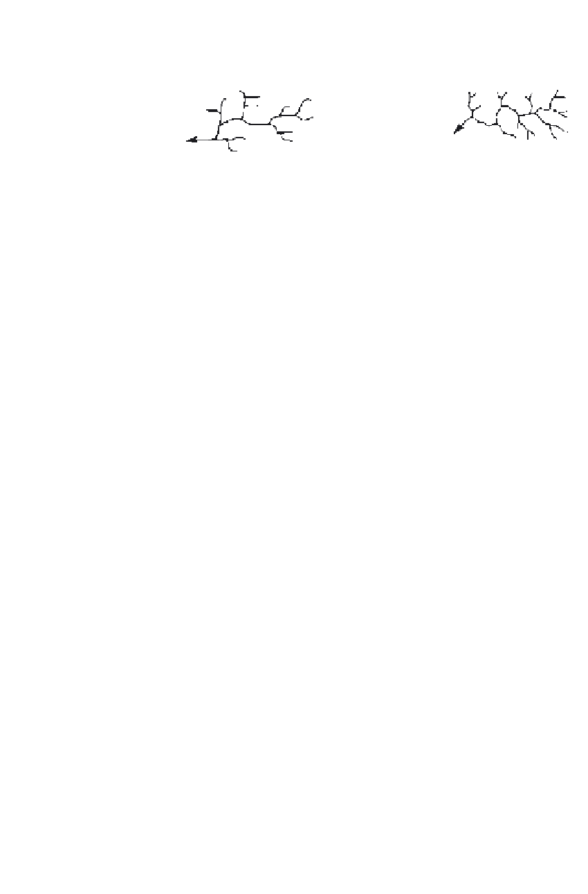
Schist
Impure limestone
Medium to fine
Medium angular
rectangular dendritic
dendritic
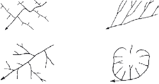
III. Controlled by Regional Rock Form
Tilted interbedded
Basalt flows over
sedimentary
large areas
Trellis
Parallel, coarse
Regional warping and uplift
Domes, volcanoes
Barbed
Radial
Domes with some joint control
Soluble limestone;
glaciatedcrystalline
shields
Annular
Deranged with
intermittent
drainage
Basin
Coral
No surface
drainage
Centripedal
a
Drainage patterns given are for humid climate conditions (categories I and II). Arid climates generally pro-
duce a pattern one level coarser.
b
Coarse: First-order streams over 2 in. (5 cm) apart (on map scale of 1:20,000) and carry relatively little runoff.
c
Medium: First-order stream ¼ to 2 in. (5 mm to 5 cm) apart.
d
Fine: Spacing between tributaries and first-order stream less than ¼ in. (5 mm).