Travel Reference
In-Depth Information
A Day on Porto Santo
Morning
You should ideally hire a
car
(see p98)
for this tour,
though you could do it by
taxi. Start by driving north-
east out of
Vila Baleira
(see p95),
up to the view-
ing point at Portela. Near-
by, you will see three
windmills of a type once
common on Porto Santo.
Carry on around the east-
ern end of the island, until
a turning to the right takes
you down to Serra de Fora
beach. Some 2 km (1 mile)
further north are traditional
stone houses at Serra de
Dentro and fine views
from Pico Branco.
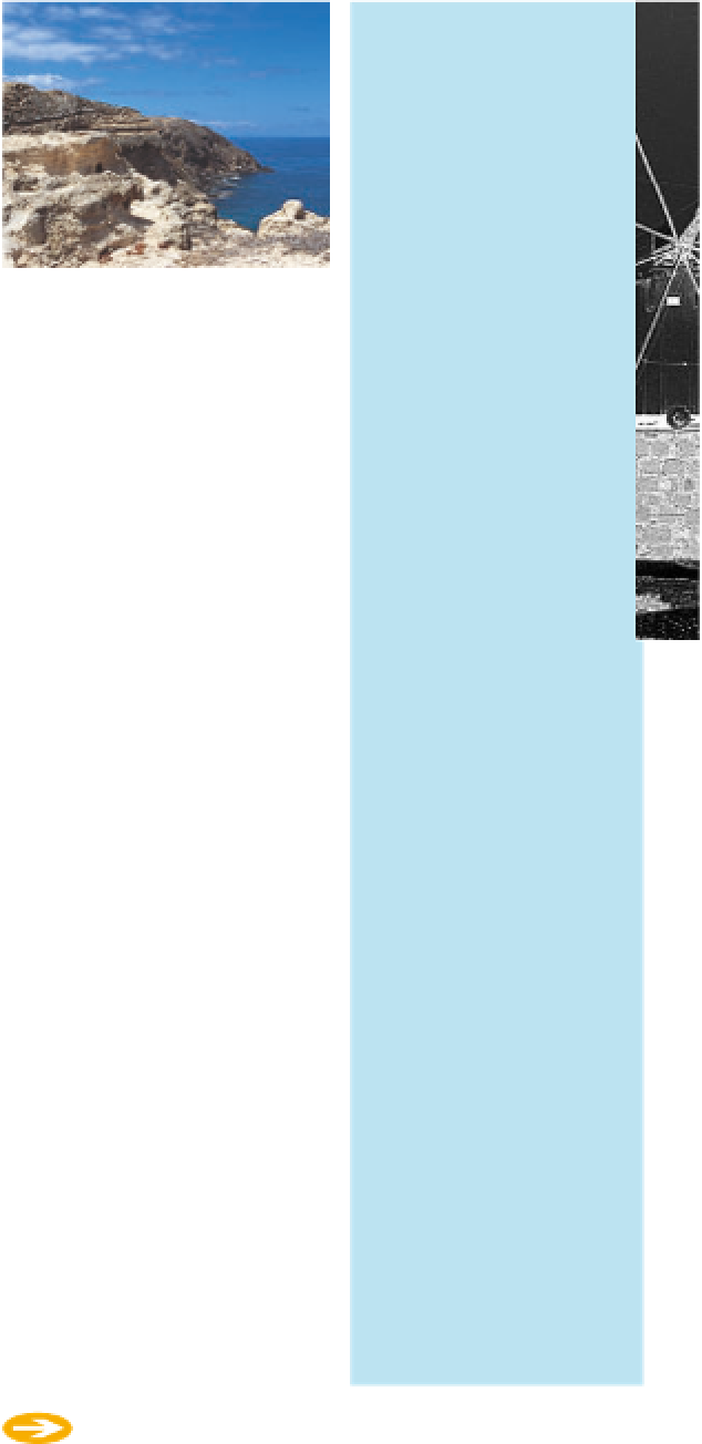
Wind-eroded cliffs, Fonte da Areia
The path to the cove starts at the
end of the road that leads to the
Centro Hipico, at the western
end of the island.
d
Map K2
(
Fonte da Areia
Water once bubbled straight
out of the sandstone cliffs at
Fonte da Areia (“Fountain of
Sand”), but in 1843 the spring
was tamed, and you can now
taste the natural, rock-filtered
mineral water by simply turning a
tap. The path to the spring leads
down a wind-eroded gully, where
the cliffs have been sculpted into
laminated sheets of harder and
softer rock. Lovers have carved
their names on the rock face, but
so ferocious is the scouring wind
that declarations of perpetual
love inscribed 10 years ago are
now growing faint.
d
Map L1
)
Pico do Castelo
At the Camacha crossroads,
a drivable track to the left
leads up
Pico do Castelo
,
soon turning into a stone-
paved road. The viewing
point at the top has great
views over central Porto
Santo. Back down at
Camacha, there is a choice
of cafés and bars for lunch.
Afternoon
First stop after lunch is
Fonte da Areia
. Despite
looking arid, Porto Santo
has several natural springs
like this one. Next, head
on toward Campo de Cima.
As you drive alongside the
airport runway, you will
see some of the few vine-
yards left on the island
that still produce wine.
The high peak to the east of
Vila Baleira is called Castle Peak,
though despite its name, it was
never fortified. From the 15th
century on it was used as a
place of refuge whenever pirates
threatened to attack. It was
equipped with a cannon, which
still survives at the lookout point
near the summit. A cobbled road
takes you all the way to the look-
out, past the cypress, cedar and
pine trees that have been plant-
ed to turn the slopes from sandy
to green.
d
Map L1
Take the road up
Pico de
Ana Ferreira
, then contin-
ue on foot to see its
extraordinary-looking
basalt columns. Afterwards,
drive on to the stunning
westernmost tip of the
island,
Ponta da Calheta
.
You should have plenty of
time for relaxing on the
sand, a swim, or a drink at
the beach bar, before
returning to Vila Baleira.
97