Environmental Engineering Reference
In-Depth Information
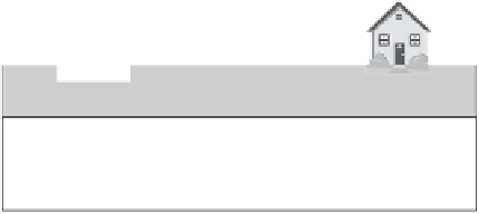
Soil-water zone
Capillary zone
Water table
Aquitard
(impermeable rock)
Figure 2.4
Vertical zones of subsurface water
from 2.5 cm for fine gravel to more than 2 m for silt (Todd, 1980). The entire vadose
zone range can vary from a few feet for high water table conditions to hundreds of
feet (meters) in arid regions. In the vadose zone, water (moisture) content generally
decreases with the vertical distance from the water table with an exception of the soil
water (root) zone where the amount of water depends primarily on recent exposure
to rainfall, infiltration, and vegetation. Water in the vadose zone is held in place by
surface forces, only the infiltrating water passes downward to the water table by a
gravity flow.
In the saturated zone beneath the water table, water is held in the pores and
moves through pores that are connected. Porosity, the ratio of the volume of voids to
the total volume, determines the amount of groundwater or the storage capacity of
an aquifer. The permeability or hydraulic conductivity is the measure of an aquifer's
ability to transmit water, hence the flow rate of groundwater. Hydraulic
conductivity is defined as the change in head (decrease in water level) per unit
distance. The greater the hydraulic conductivity, the lesser the resistance to the
groundwater flow.
2.3.3 Groundwater Wells
A well is a vertical hole that is extended into an aquifer to a certain depth. Wells are
very important because they serve various purposes, such as pumping of water for
domestic, agricultural, or industrial uses (supply wells), pumping of contaminated


Search WWH ::

Custom Search