Environmental Engineering Reference
In-Depth Information
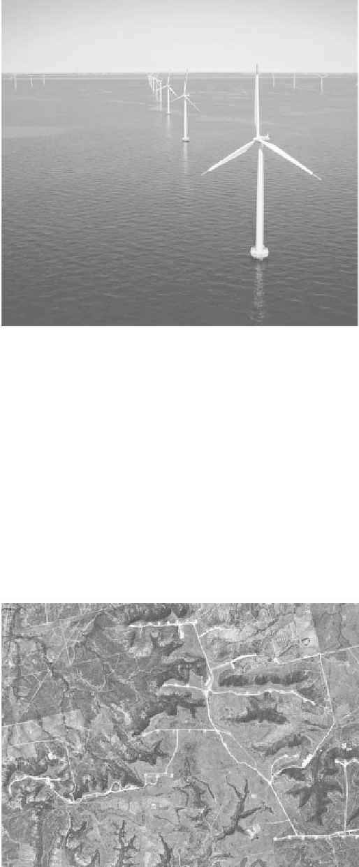
FIGURE 9.15
Nysted wind farm in the Baltic Sea, Denmark. (Photo from Siemens. With permission.)
are section sprinklers (1 square mile, 260 ha), and small circles are ¼-section sprinklers. Notice
that the shadow of the wind turbines is more obvious than the wind turbines, and the angle of the
shadow may be different from one part of the wind farm to an adjacent part, as the image was taken
at a different date and time. Images from different sources will also be taken at different dates and
times. New wind farms will not appear in the satellite images until they are updated, which could
be more than a year.
Micrositing techniques of wind farm developers are proprietary. However, satellite images show
the actual layout of wind farms, and from the images and topographic maps, a good idea can be
obtained about the siting. If the type and model of wind turbine are known, then the spacing can be
estimated from the image. The image of Trent Mesa, Texas (Figure 9.16), shows about half of the
layout of the wind farm, which has 100 wind turbines, 66 m diameter, rated 1,500 kW.
FIGURE 9.16
Satellite image of west side of Trent Mesa wind farm, Texas.
Search WWH ::

Custom Search