Geography Reference
In-Depth Information
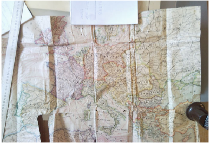
Fig. 17 Annotated map of Europe and Asia Minor.1. Source Service Historique de la Defense,
Department de l'Armee de Terre Division, Château de Vincennes, Paris. Photograph William
Cartwright
elements are missing. Personalisation is impossible when immediate geographical
information is required to be represented prior to a battle or afterwards, as a record
of the actual clash and its aftermath.
Personal geographies can be used to give an insight into the human stories of
traveling to battle, the preliminary movements, the battle itself and combatant's
reflections on what has happened. Mapping personal geographies can be done by
assembling a montage of geographically-related artefacts, notes, annotations and
maps that individuals have used to record their thoughts, feelings and reflections.
Further, related research on this topic is being undertaken by the author.
6 Conclusion
The investigation of geographical artefacts and maps related to the Gallipoli
campaign in World War I found rich resources in online archives, in map col-
lections and in military archives. The products range from professionally-produced
topographic maps to hand-drawn maps from field observations. The military,
commercial map publishers and newspapers produced documents. Occasionally
individuals produced maps themselves, where no 'official' map was available.