Geography Reference
In-Depth Information
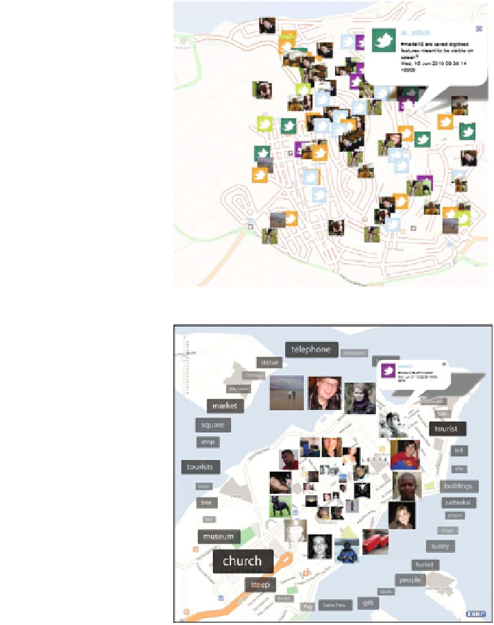
Fig. 5 #malta10 TweetMap
used for the land use mapping
exercise in Mellieha and
utilizing alternate
OpenStreetMap data (base
map 2010 CloudMade Map
data CCBYSA 2010
OpenStreetMap.org)
Fig. 6 #malta10 TweetMap
showing data arranged
temporally (base map 2010
CloudMade Map data
CCBYSA 2010
OpenStreetMap.org)
tweets spatially arranged using GPS coordinates supplied within tweets that took
the following form:
Coordinate data are supplied by students using the GPS equipment provided for
the exercise or GPS functionality built into their phones. The student's profile or
Twitter's geolocation API were not used to ensure accurate locations were
recorded—only 22.5 % of tweets (166 out of 738) had correctly formed auto-
matically provided geolocations. Figure
5
shows the spatial distribution of student
tweets and therefore students across the study area for the duration of the exercise.