Geoscience Reference
In-Depth Information
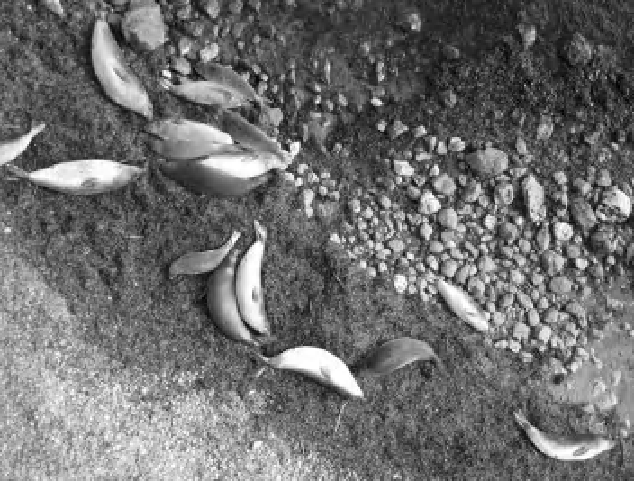
Figure 3-20.
Close-up vertical view of elephant seals on the beach at Point Piedras, California, United States. These
juvenile seals are from about 2 to 2.5 m long, and most are sleeping on a bank of seaweed. People were not
allowed to approach the seals on the ground, but the seals were not aware of the photographic activity overhead.
The spatial detail depicted in such images is extraordinary; individual pebbles are clearly visible on the beach. Kite
aerial photo by J.S. Aber and S.W. Aber.
Tiner (1997) noted the difi culty of wetland
interpretation using conventional airphotos,
because of the highly variable water, topo-
graphic, and vegetation conditions that may
apply. He emphasized the importance of photo-
graphic scale for setting spatial limits on
wetland mapping. In this regard, SFAP has dis-
tinct advantages for certain types of wetland
investigations (Aber and Aber 2001; Aber
et al. 2002).
achieve comparable high spatial and tempo-
ral resolutions.
For most satellite systems, time of day for acquir-
ing imagery is determined by the satellite orbit,
and nearly all airborne and space-based systems
are designed only for vertical (nadir) imagery.
SFAP allows much greater l exibility for acquir-
ing vertical and oblique vantages (Fig. 3-21) in
all orientations relative to the sun position,
shadows, and ground targets (Fig. 3-22).
Over the past few decades, such remotely
sensed data have provided wetland managers
with important information about the effective-
ness of their management efforts. In some cases,
they have also persuaded policy makers to
endorse more stringent management strategies.
Regardless, these data give the scientii c com-
munity a better understanding of the function-
ing and health of these ecosystems and indicate
that a great deal more needs to be done to docu-
ment and monitor these habitats. Such studies
not only improve our understanding of these
unique landscapes and their functioning, but
perhaps also provide convincing evidence for
their future conservation.
• High-resolution (2-5 cm), large-scale, visible
and near-infrared imagery are suitable for
detailed mapping and analysis.
• Equipment is light in weight, small in volume,
and easily transported by foot, vehicle or
small boat under difi cult i eld conditions
-
peat, mud, water.
• Minimal impact on sensitive habitat, vegeta-
tion and soil. Silent operation of kites and
blimps does not disturb wildlife (Fig. 3-20).
• Repeated photography during the growing
season and year to year documents changing
environmental conditions (see Fig. 4-3).
• Lowest cost by far relative to other manned
or unmanned types of remote sensing to