Geoscience Reference
In-Depth Information
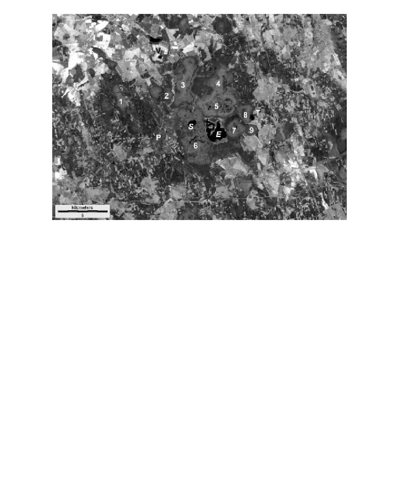
Figure 16-48.
Satellite image of the Endla mire complex in east-central Estonia. Bogs: 1 - Punaraba, 2 - Rummallika
raba, 3 - Kanamatsi raba, 4 - Mardimäe raba, 5 - Linnusaare raba, 6 - Endla raba, 7 - Kaasikjärve raba,
8 - Männikjärve raba and 9 - Teosaare raba. Other features: P - Põltsamaa River,
S
- Sinijärv (Blue Lake),
E
- Endla
Lake, T - Tooma, and V - Väinjärve raba, a peat mine. Lateral drainage ditches can be seen in conifer forest
surrounding the bogs. Landsat TM band 5 (mid-infrared). Date of acquisition 28 May 2007. Image from NASA;
processing by J.S. Aber.
Figure 16-49.
Elevated boardwalk and 8-m-tall observation tower near the center of Männikjärve Bog, east-central
Estonia. Kite aerial photo by S.W. Aber, J.S. Aber, K. Aaviksoo and E. Karofeld.