Geoscience Reference
In-Depth Information
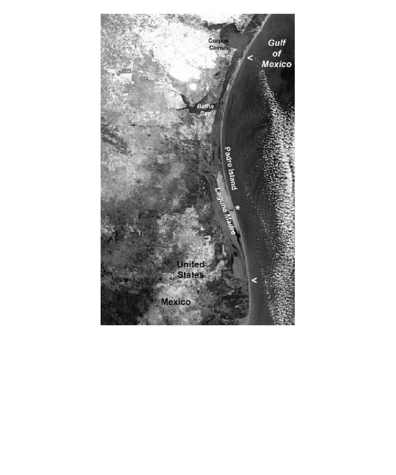
Figure 15-23.
Satellite image of Padre Island and Laguna Madre in winter with partial snow cover on the
mainland. The island is
) mark the approximate northern and southern ends of
the island; the Mansi eld Channel is indicated by the asterisk (*). Panchromatic version of original natural-color
Terra/MODIS image; date of acquisition 27 December 2004. Adapted from NASA
∼
115 miles (185 km) long. Arrows (
<
<
http://visibleearth.nasa.gov/
>
.
(
Panicum amarum
), gulf croton (
Croton punc-
tatus
), and sea oats (Fig. 15-27).
Behind the fore-island dune ridge, the vege-
tated barrier l at contains a complex of grasses,
shrubs, marshes, and small pools (Fig. 15-28).
These are typically fresh to brackish wetlands
supported mainly by precipitation; cattail (
Typha
domingensis
) grows in moist habitats (Richard-
son 2002). During hurricanes and tropical
storms, the dune ridge may be breached, and
washover fans and blowout dunes are deposited
across the interior of the island. The lagoon side
of the island is marked by a back-island dune
i eld.