Geoscience Reference
In-Depth Information
is blocked to the east by the Atlantic Coastal
Ridge supported by bedrock of the mixed
clastic-carbonate Anastasia Formation to the
north and the wholly carbonate Miami Lime-
stone to the south (Bryan, Scott and Means
2008). The Miami Limestone was deposited
some 130,000 years ago, when sea level stood
5-8 m higher than present and all of southern
Florida was submerged as a shallow bank (see
chapter 8.3.1). This limestone surface is exposed
now in many places, where it forms subtle
ridges and pinnacles. In other places, it is
covered by younger wetland sediments includ-
ing diatomaceous earth, marl, and peat up to
5 m thick in sloughs (Whelan et al. 2009). Peat
is mainly of Holocene age and may accumulate
rapidly at rates up to 10 cm per century (Bryan,
Scott and Means 2008).
The Everglades comprises several types of
wetlands. These are arranged in a general
progression from north to south, including
Figure 15-12.
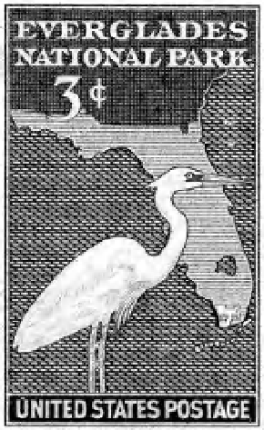
United States postage stamp issued in
1947 to recognize the establishment of Everglades
National Park. Original stamp printed in green
monotone; from the collection of J. Vancura.
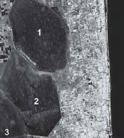
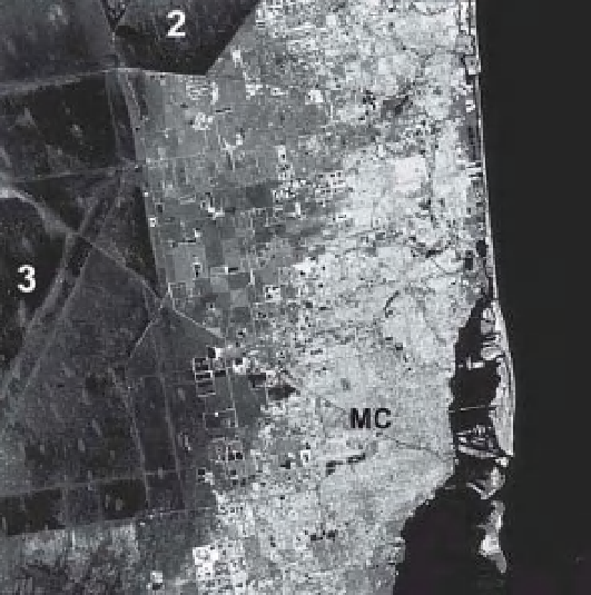
A
B
Figure 15-13.
Satellite images of southeastern Florida showing surface-water conservation areas 1, 2 and 3 (see
Color Plate 15-13). Note how vegetation patterns rel ect the direction of surface-water l ow in the conservation
areas. The brighter red patches are hammocks with hardwood trees. A. Region of Pompano Beach, north of Miami.
B. Miami vicinity. The Miami Canal (MC) begins at Lake Okeechobee and runs across central Miami into Biscayne
Bay. Landsat TM bands 2, 3 and 4 color coded as blue, green and red; active vegetation appears bright red and
pink. Date of acquisition February 1983; adapted from NASA Goddard Space Flight Center.