Geoscience Reference
In-Depth Information
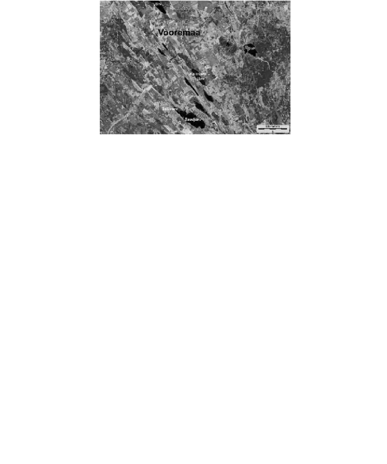
Figure 8-1.
Satellite image showing the Vooremaa drumlin i eld north of Tartu, Estonia (see Color Plate 8-1).
Drumlins are elongated hills that were molded by glaciation into smoothed, streamlined landforms. Long, narrow
lakes occupy the troughs between drumlins, and bogs have developed in several of these troughs (dark green).
Active vegetation is green; fallow i elds are purple-maroon; red patch in left-center is a cut-over peat mine at Visusti
Soo. Landsat false-color composite; TM bands 2, 4 and 5 color coded as blue, green and red; image date 28 May
2007; processing by J.S. Aber.
Figure 8-2.
Stages in bog development beginning with initial appearance of
Sphagnum
(1) to a mature bog
complex (5). Schematic proi les and map views; not to scale; adapted from Masing (1997, p. 45).