Environmental Engineering Reference
In-Depth Information
River Trent
Chetwynd
Bridge
Lea Marston
Eagle Lane,
Tipton
Industrial Midlands and
Birmingham conurbation.
River Tame catchment
Watershed
River
Blythe
River Severn
catchment
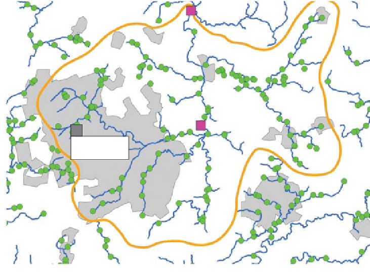
Figure 13.1.
River Tame system showing relative positions of the three sampling sites
used for this analysis. Green spots indicate EA biological sampling stations. Red squares,
the sites used in this analysis.
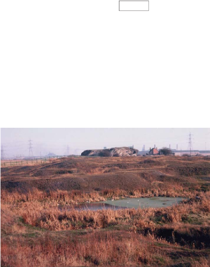
Figure 13.2.
Black Country landscape in the 1960s. Mine spoil heaps and pit pools such
as these were common in the seventeenth century and stocked with coarse fish to
provide food. The large block in the background is the remains of a slag-heap from a
blast-furnace demolished in the 1940s. Today the area is all housing. (
T. E. L. Langford.)
#