Travel Reference
In-Depth Information
oasis, a lovely patch of palms
and tamarisks seemingly
wedged between the high,
near vertical, red walls of
the canyon. If you continue
a little further along the trail
you will come to the solitary
Haggar Maktub (Rock of
Inscriptions). Since the
Nabataean period, pilgrims
going to Sinai have left
graffiti carved on the rock.
Heading south from
Nuweiba Muzeina along the
coast leads to the
Abu Galum
Nature Reserve
. A maze of
A
narrow wadis penetrates the
interior, with an abundance
of plants and wildlife, such
as foxes, ibexes and hyraxes.
The beach at Ras Abu Galum
is usually deserted except for
a few Bedouin fishermen.
Carvings on the Haggar Maktub, in the desert near Nuweiba
Taba
1
Road map
F5.
@
luxuriant Nuweiba Muzeina
oasis, which for centuries
was a port for pilgrims going
to Mecca. It now has many
hotels and tourist villages.
To the north is Nuweiba
el-Tarabin, named after the
Bedouin tribe
that lives here.
You can visit the
Y
ruins of the large
Tarabin fortress
,
built in the 16th
century by the
Mameluke sultan
Ashraf el-Ghouri.
The Nuweiba area
is rich in beaches,
and diving and
snorkelling sites.
Since Israel returned owner-
ship of the Sinai peninsula
to Egypt in 1982, the small
coastal town of
Taba has served
as a border post
between the two
countries. A
pleasing stretch
of beach is
overlooked by a
five-star hotel. Just
under 20 km (12
miles) to the south
is the new resort
of
Taba Heights
,
which boasts
some of the most luxurious
hotels in Sinai, as well as an
18-hole golf course and a
marina. There are views from
the resort across the Red Sea
to the Israeli, Jordanian and
Saudi Arabian coastlines.
Between Taba and Taba
Heights, just offshore is
Pharaoh's Island
(or Coral
Island), which is dominated
by an impressive Crusader
fortress. Tickets for the boat
across to the island are
available from the Salah ed-
Din Hotel on the coastal road.
Dahab
3
Road map
F6.
@
In Arabic the word
dahab
means “gold”, and the name
derives from the sand on the
beautiful beaches. The crown
of palm trees, the beaches
and the light blue sea make
this one of the most popular
localities in Sinai. It has grown
up around the old Bedouin
village of Assalah, which still
survives today. The many
camping sites, simple hotels
and beachside restaurants
attract an array of mainly
independent travellers who
lend a raffish air to the town.
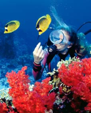
Many also visit for the
world-class diving sites
around Dahab. Among the
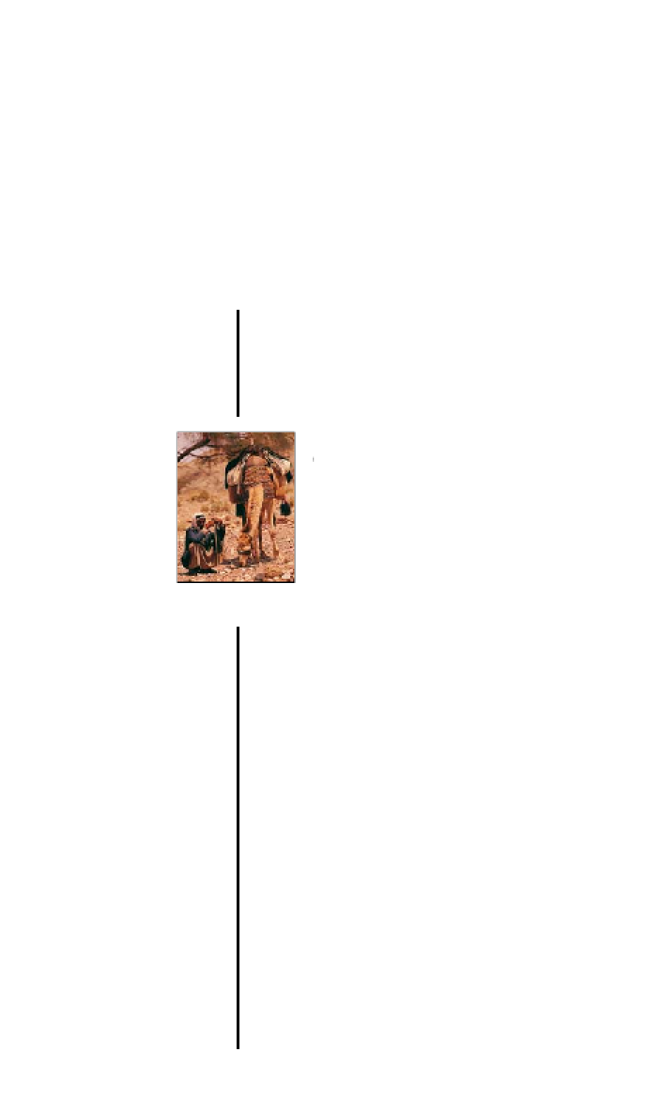
Bedouin with his camel,
outside Nuweiba
Environs
Nuweiba makes a convenient
starting point for trips to the
Sinai interior. One of the most
fascinating is to the
Coloured
Canyon
, a narrow sculpted
gorge created by water erosion.
Its sandstone walls have
taken on many hues of
yellow, red and ochre
due to the slow process
of oxidation of the ferrous
minerals in the rocks.
The canyon opening can
be reached by car from
the Ain Furtaga oasis,
about 15 km (9 miles)
from Nuweiba on the
road west, and thence
by following the Wadi
Nekheil track.
Another fascinating trip
uses a jeep track from
Ain Furtaga through the
immense Wadi Ghazala
to
Wadi Khudra
. Midway
along the track you will
come to the Ain Khudra
Nuweiba
2
Road map
F6.
@
g
from Aqaba (Jordan).
Nuweiba lies midway along
the Gulf of Aqaba at the
side of a promontory and
consists of two distinct
districts. To the south is the
Raccoon butterflyfish with diver, off the
coast of Dahab in the Gulf of Aqaba
For hotels and restaurants in this region see pp264-5 and p281