Travel Reference
In-Depth Information
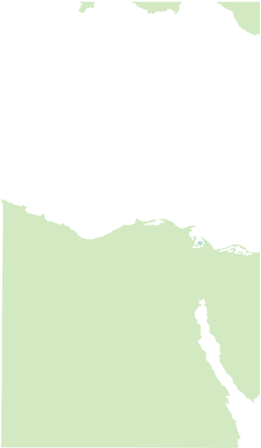
Putting the Holy Land on the Map
The crossroads of three continents - Africa to the
south, Asia to the east and Europe to the west -
the Holy Land encompasses the whole of Israel and
the Palestinian Autonomous Territories, and parts of
Jordan and Egypt. Its boundaries could be said to
stretch from the Mediterranean in the west, inland to
the Jordanian deserts, and from Galilee in the north
to the southern tip of the Sinai peninsula. At the core
of the Holy Land is Jerusalem, an ancient walled city
which stands on the Judaean hills, just to the west of
the Dead Sea, the lowest point on earth.
452
J
.&%*5&33"/&"/
4&"
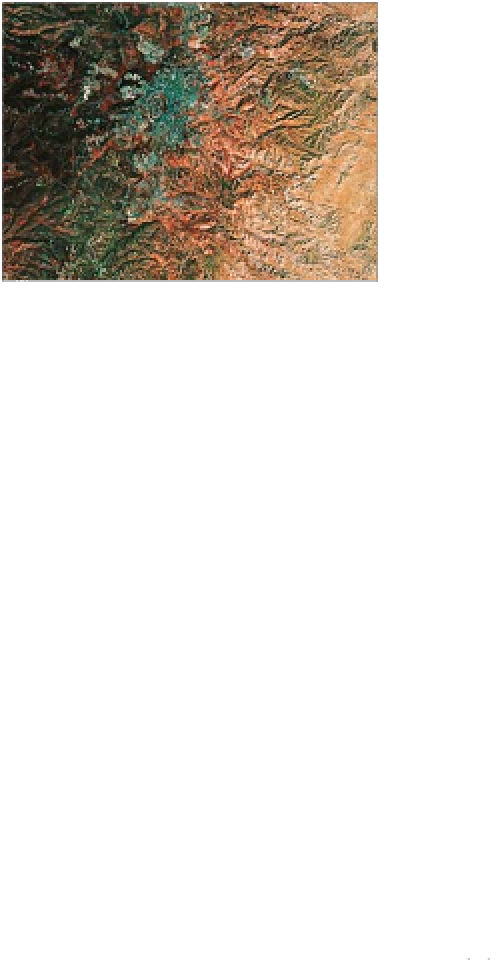
Infrared satellite image of Jerusalem
Infr
#BMUJN
#BMUJN
VNZBU
%VN
%%%V
1PSU4BJE
1
1
J
0 kilometres
/
/JMF%FMUB
%
SJTI
&M"SJTI
&M"
&M"S
&M"S
0 miles
2533)!.
2
&%$%2
3
2 4)/
! .
J
/BLIIM
%'904
9 0
3 ) .. )
.PVOU
. VO
.PV
!,'%2)!
,)"9
N
%'904
)
)
VSHIBEB
.)'%2
444B
4BGB
BGBHB
The Monastery at Petra
(see p230)
in a 19th-century engraving by David Roberts