Travel Reference
In-Depth Information
Tartagal
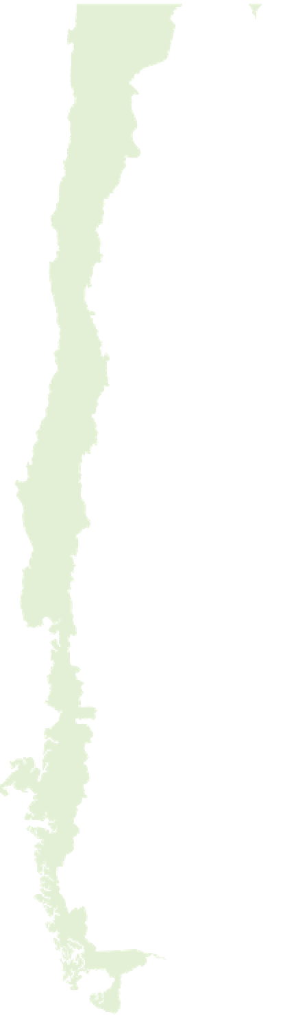
Putting Argentina on the Map
Argentina occupies most of the triangular southern tip
of South America and shares its borders with Uruguay,
Brazil, Paraguay, Bolivia, and Chile. Covering an area of
1.08 million sq miles (2.8 million sq km), it is the eighth-
largest country in the world. It is more than 3,100 miles
(5,000 km) long following the western frontier down
the Andes range, while some 1,900 miles (3,000 km) of
Atlantic coastline stretch between Buenos Aires and
Tierra del Fuego, an island separated from the continent
by the Magellan Strait and shared with Chile. Argentina
has a population of 40 million and administratively,
it is divided into 23 provinces and a federal district
in which stands the bustling capital.
Antofagasta
34
San Salvador
de Jujuy
Salta
k
16
9
CHILE
San Miguel
de Tucumán
k
Copiapó
Santiago
del Estero
San Fernando del
Valle de Catamarca
La Rioja
9
Coquimbo
k
40
San Juan
Córdoba
9
k
Mendoza
Río
Cuarto
San Luis
Santiago
8
Villa
Mercedes
San Rafael
San Carlos
7
35
Key
ARGENTI
Expressway
Highway
Santa
Rosa
Railroad
Concepción
Limay
Mahuida
International border
k
o
Neuquén
22
40
0 kilometers
0 miles
300
Valdivia
San MartÍn de
los Andes
300
Viedma
Bariloche
Puerto Montt
k
3
Península
Valdés
Puerto
Madryn
Chaitén
Trelew
20
Lago Colhué
Huapí
Puerto Chacabuco
Comodoro
Rivadavia
Cochrane
Caleta
Tortel
Tres Cerros
Puerto
San Julián
Pacific
Ocean
k
o
Bahía
Grande
El Calafate
3
Río
Gallegos
k
Mar
Argentino
Punta
Arenas
k
Ushuaia
For additional map symbols
see back flap