Geoscience Reference
In-Depth Information
analysis relevant to the carbon cycle and determining driving forces that
affect processes that influence the nature and rate of vegetation succession.
A medium-resolution sensor such as Landsat TM (30 m) theoretically can
accurately classify the seven basic feature classes previously identified.
However, as recently as 1993, TM data could not consistently and accurately
differentiate the three primary SS classes. During the period 1993-6, three
studies were conducted that focused on differentiation of multiple classes of
succession features, intensively using supervised and unsupervised (cluster-
ing) classification techniques on TM data, in spectral and spatial formats,
integrated with a large field observation and measurement database. This
approach provided a consistently high level of classification accuracy suit-
able for use in estimating the amount, rate, and direction of LULC changes.
The initial research using the integrated analysis of TM data and detailed
field data was conducted near Altamira, Brazil (Mausel et al.
1993
). Based on
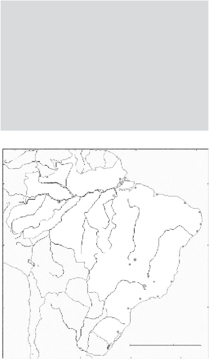
analysis of test samples in Altamira (Figure
3.12
), accuracy in identification
Figure 3.12 Amazonia
study area.
72
60
Brazil
Negro
0
m
Altamira
12
Brasilla
24
Atlantic
Ocean
1000 km
1000 miles
48
36
Search WWH ::

Custom Search